What is recorded here
KE097-003---- is depicted on the first edition of the OS map as a small rectangular area, and marked only as ‘site of’ on the second edition, this site is preserved as a mound or platform of subrectangular plan. It averages .45m high above surrounding ground level and measures 6.9m N-S x 14.6m E-W in overall dimensions. Defined at N by a stony bank, its upper surface is littered with numerous stones, some of which are upright.
A small slate slab, .2m high and .25m wide, has a rough cross rubbed onto one face.
The above description is derived from A. O'Sullivan and J. Sheehan (compilers), 'The Iveragh peninsula: an archaeological survey of South Kerry'. Cork University Press (1996), no. 1026. In certain instances the entries have been revised and updated in the light of recent research.
Date of upload: 30 July 2013
The monument record does not grant public access. Check the route and ask the landowner before entering private land.
- What survives
- Recorded monument
Places near here
 Holy well in Cill UrlaíHoly well · 86 yd
 Cloch Oghaim/Ogham Stone.Archaeological place · 413 yd
 KillurlyMountain / peak · 1116 yd
 Reglaish Church (in Ruins)Church · 1508 yd
 Chaytor's StablesRuins · 1.2 mi
 Tráigh LeagaighBeach / strand · 1.4 mi
 Cuas an tSrutháin/Cove of the StreamBay · 1.5 mi
 Cuas na gCré BhuíBay · 1.5 mi
 Trá an GhleanntáinBeach / strand · 1.6 mi
 Cuas a' PhúcaCave · 1.7 mi
 Ballinskelligs Castle (in Ruins)Castle, tower house · 1.8 mi
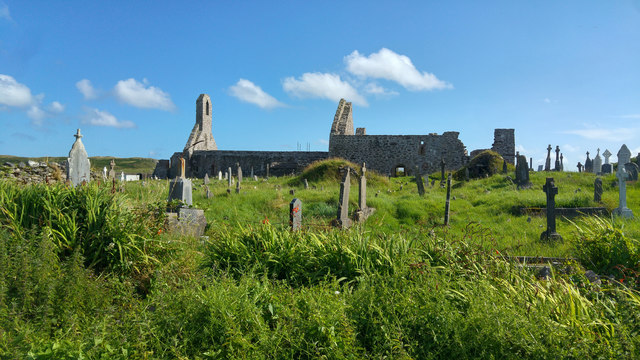 Ballinskelligs PrioryVisitor information · 2.0 mi