What is recorded here
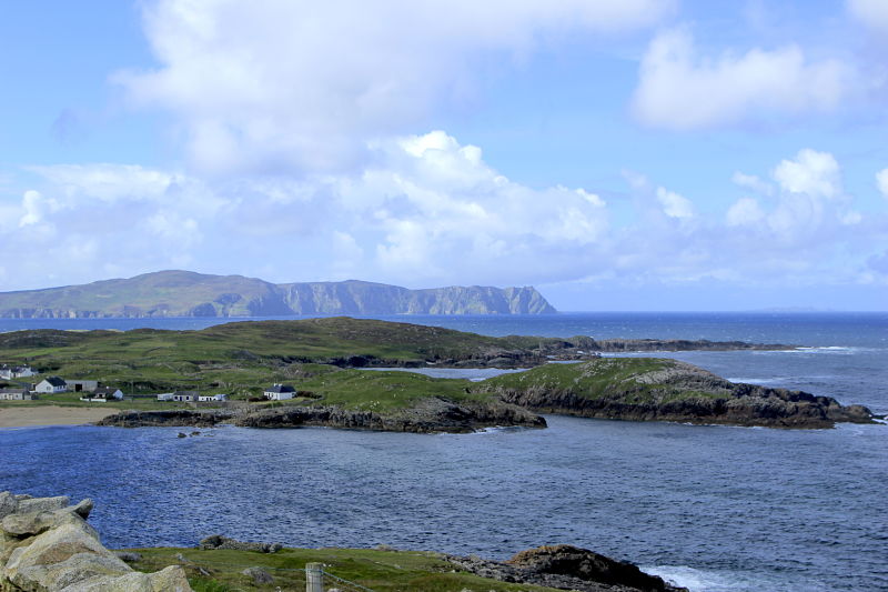
Two previous authors (Price 1941, 78 and Herity 1971, 25) record a stone slab, possibly a cross-slab, in this vicinity but no trace of it was found during the course of the survey. It was one of the Stations of St. Conall's turas. It would appear to have been located on rocky rough pasture.
The above description was derived from the 'Archaeological Survey of County Donegal. A description of the field antiquities of the County from the Mesolithic Period to the 17th century.' Compiled by: Brian Lacey with Eamon Cody, Claire Cotter, Judy Cuppage, Noel Dunne, Vincent Hurley, Celie O'Rahilly, Paul Walsh and Seán Ó Nualláin (Lifford: Donegal County Council, 1983). In certain instances the entries have been revised and updated.
Date of upload: 22 September 2008
The monument record does not grant public access. Check the route and ask the landowner before entering private land.
- What survives
- Recorded monument
Places near here
 IndicatedHoly well · 791 yd
 Enclosure in LeathchoillEnclosure · 856 yd
 Church in LeathchoillChurch · 976 yd
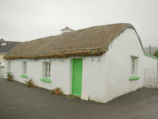 Teachín Tessiehouse · 1.3 mi
 Glencolmcille Old GraveyardGraveyard · 1.4 mi
 Trá an GhleannaBeach / strand · 1.9 mi
 Glencolmcille Folk VillageMuseum · 2.1 mi
 An Trá Bheag (Trá Bheag an Ghleanna)Beach / strand · 2.3 mi
 An Tor MórIslet · 3.0 mi
 CroaghstraleelMountain / peak · 3.5 mi
 Rossan PointHeadland · 4.3 mi
 Slieve LeagueMountain / peak · 4.8 mi