What is recorded here
This cross-inscribed boulder now lies against a field boundary, where it was deposited during recent land improvement operations. It measures 1.8m x 1.3m and features a pocked, linear Latin cross, .45m long, on its present N face. Its original location is not marked on the OS maps.
The above description is derived from O'Sullivan, A. and Sheehan, J. (compilers) 'The Iveragh peninsula: an archaeological survey of South Kerry'. Cork University press. (1996), no. 971. In certain instances the entries have been revised and updated in the light of recent research.
Date of upload: 13 June 2013
Likely dating to the early medieval period, the cross-inscribed stone in Spunkane may have served a Christian ritual or commemorative function. Such stones are often associated with local folklore, pilgrimage, or territorial markers in rural landscapes.
The monument record does not grant public access. Check the route and ask the landowner before entering private land.
- What survives
- Recorded monument
Places near here
 Indicated (1846).Fairy fort / earthen ringfort · 30 yd
 SheepfoldHut site · 1001 yd
 Iveragh Lodgehunting/fishing lodge · 1049 yd
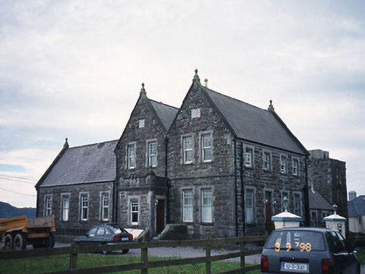 The Cable Stationcoastguard station · 1217 yd
 Butler MemorialMemorial · 1649 yd
 T. C. Millerick MemorialMemorial · 1.1 mi
 Waterville PromenadeWalking route · 1.2 mi
 Inny StrandBeach / strand · 1.5 mi
 CastleCastle, tower house · 1.7 mi
 Reenrow BeachBeach / strand · 2.3 mi
 Emlagh LoopWalking route · 2.4 mi
 Bá na ScealgBay · 3.0 mi