What is recorded here
Described in 1980 as 'a flat sandstone slab (L 0.67m; Wth 0.28m) with an incised cross in the centre surrounded by a lightly incised pattern of rectangles. This stone lies on the ground about 2m west of the west end of the church (WM011-145----)' (SMR file, 15/10/1980).
See attached rough sketch of graveslab drawn in 1980.
Compiled by: Caimin O'Brien
Date of upload: 24 June 2010
Probably dates to the early Christian period (5th–9th century AD), based on the incised cross. Such stones may have marked burial sites, territorial boundaries, or had a commemorative or ritual function.
The monument record does not grant public access. Check the route and ask the landowner before entering private land.
- What survives
- Recorded monument
Places near here
 Portloman AbbeyChurch · 13 yd
 Carrickphilbin IslandIslet · 694 yd
 Nugent's CastleCastle · 781 yd
 Lack LomanArchaeological place · 900 yd
 IndicatedCastle, motte · 935 yd
 OutlinedFairy fort / earthen ringfort · 944 yd
 Srudarra IslandIslet · 1.1 mi
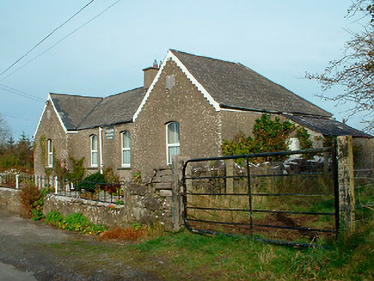 Balrath National Schoolschool · 1.3 mi
 Lady's IslandWood · 1.7 mi
 Scragh Bog Nature ReserveNature reserve · 2.1 mi
 WestmeathVisitor information · 3.5 mi
 Bridge Memorial (Kenna)Memorial · 3.9 mi