What is recorded here
Toberavilla/Tobar an Bhile (KE106-032003-) is a spring well is located c. 30m WNW of Kilcrohane Medieval church and graveyard (KE106-032001-). It is covered by a low drystone structure, on top of which lies a cross-incised slab measuring .44m x .12m x .1m thick. An ash tree, marked 'Old Tree' on the first edition of the OS map, formerly stood beside the well and was locally reputed to mark the grave of St Crohane.
A flat-topped boulder, referred to locally as a massrock, is located 27m E of the well. It measures 1.5m x .45m x .7m high, and beside it is a recumbent slate slab (KE106-032008-) on which are a number of lightly incised crosses.
The above description is derived from A. O'Sullivan and J. Sheehan (compilers), 'The Iveragh peninsula: an archaeological survey of South Kerry'. Cork University Press (1996), no. 1054. In certain instances the entries have been revised and updated in the light of recent research.
Date of upload: 30 July 2013
The monument record does not grant public access. Check the route and ask the landowner before entering private land.
- What survives
- Recorded monument
Places near here
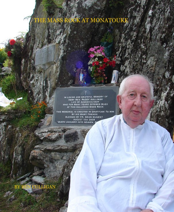 Mass-rock in BehaghaneMass-rock · 1 yd
 Old TreeRitual site, holy tree/bush · 30 yd
 Kilcrohane Church (in ruins)Church · 43 yd
 Copper Mines (Disused)Mine, copper · 939 yd
 Castle Cove (in Ruins)Castle, tower house · 1736 yd
 Reen BeachBeach / strand · 1.3 mi
 Eagles HillMountain / peak · 1.4 mi
 Cnoc na StéigeMountain / peak · 1.8 mi
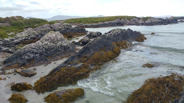 White StrandBeach / strand · 1.8 mi
 2Cliff · 2.9 mi
 Ogham StoneVisitor information · 2.9 mi
 IllaundraneIslet · 3.1 mi