What is recorded here
Cross described in 1996 as follows; ''This upright slab, possibly a very rough stone cross, was located just above the opening to the cistern [KE104A001055-]. H: 0.77m. W: 0.36m. T: 0.13m.' (O'Sullivan and Sheehan 1996, 290, no. 948 (80)). There are no visible remains of this slab.
The above description is derived from A. O'Sullivan and J. Sheehan (compilers), 'The Iveragh peninsula: an archaeological survey of South Kerry'. Cork University Press (1996), no. 948. In certain instances the entries have been revised and updated in the light of recent research.
Revised by: Caimin O'Brien
Date of revised upload: 9 March 2022
This remains an important historical record, but the official description says the monument is no longer visible or has been destroyed. The monument record does not grant public access. Check the route and ask the landowner before entering private land.
- What survives
- No visible remains or recorded as destroyed
Places near here
 Skellig MonasteryHeritage attraction · 17 yd
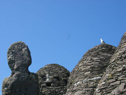 Church (in Ruins)Church · 26 yd
 North PeakMountain / peak · 37 yd
 Cross in Sceilg MhichílCross · 132 yd
 Sceilig MhichílIslet · 133 yd
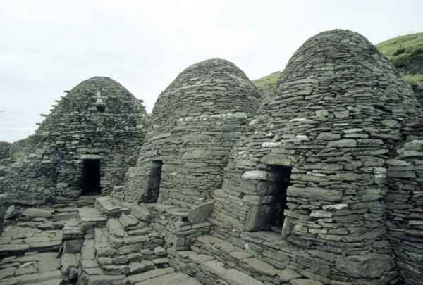 CrossCross · 180 yd
 Church in Sceilg MhichílChurch · 221 yd
 Sceilg MhíchílMountain / peak · 244 yd
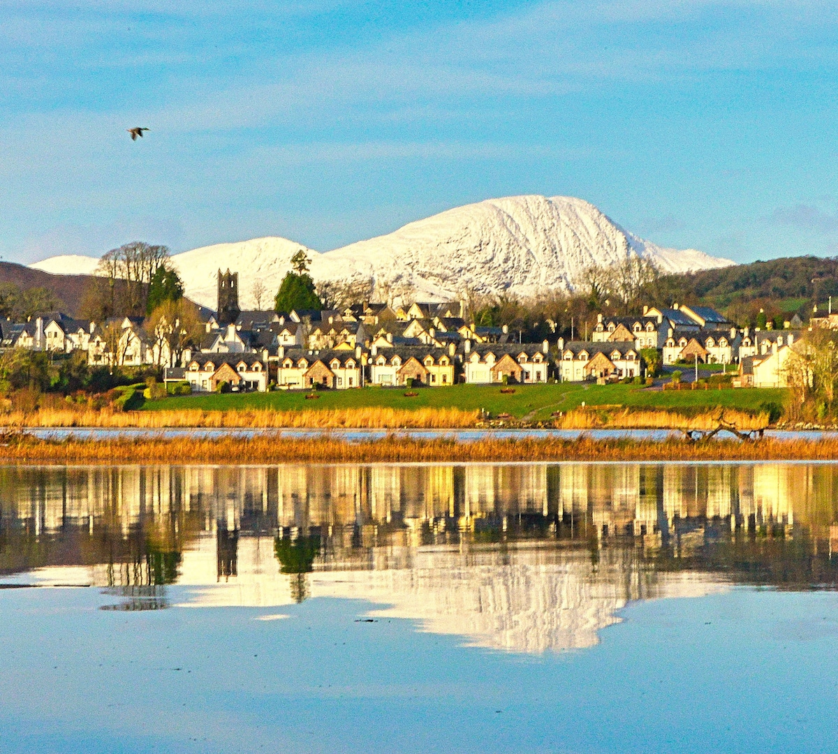 Pointe na bhFaoileannHeadland · 394 yd
 Sceilig BheagIslet · 1.5 mi
 LéimeHeadland · 6.8 mi
 Tráigh na SplinceBeach / strand · 8.6 mi