What is recorded here
From King (2007, 55, No. 5) A Latin cross on the south side of the graveyard to the south of High cross No. 2 above and No. 4. It is still buried up to the transom and leaning towards the east. It is 37cms in height, 37cms in width and 14cms in depth The east face has a gridded design somewhat similar to Nos.1 and 4 above. There are three vertical lines and three horizontal lines pecked across the transom and the upper shaft has an upturned U outlining the upper shaft. The west side is undecorated.
See attached screenshots of 3D model of cross created by Digital Heritage Age under the direction of Gary Dempsey and Orla Peach Power. Photogrammetric 3D model can be accessed at the following website: https://skfb.ly/6ssNn
Date of upload: 10 July, 2014
The monument record does not grant public access. Check the route and ask the landowner before entering private land.
- What survives
- Recorded monument
Places near here
 Cross in NobberCross · 1 yd
 Church of Saint John the Baptist (Nobber)church/chapel · 31 yd
 Nobber GreenwayMemorial · 58 yd
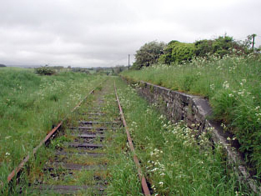 Nobber Railway Stationplatform · 86 yd
 MoatCastle, motte and bailey · 342 yd
 Enclosure in BrittasEnclosure · 971 yd
 Common LimeCommon Lime · 1267 yd
 Gallows HillMountain / peak · 1272 yd
 Cherburg WoodForest · 1739 yd
 Ugly HillMountain / peak · 1.5 mi
 Castletown FortCastle, motte and bailey · 2.7 mi
 Owenroe and Moynalty DrainageMemorial · 3.5 mi