What is recorded here
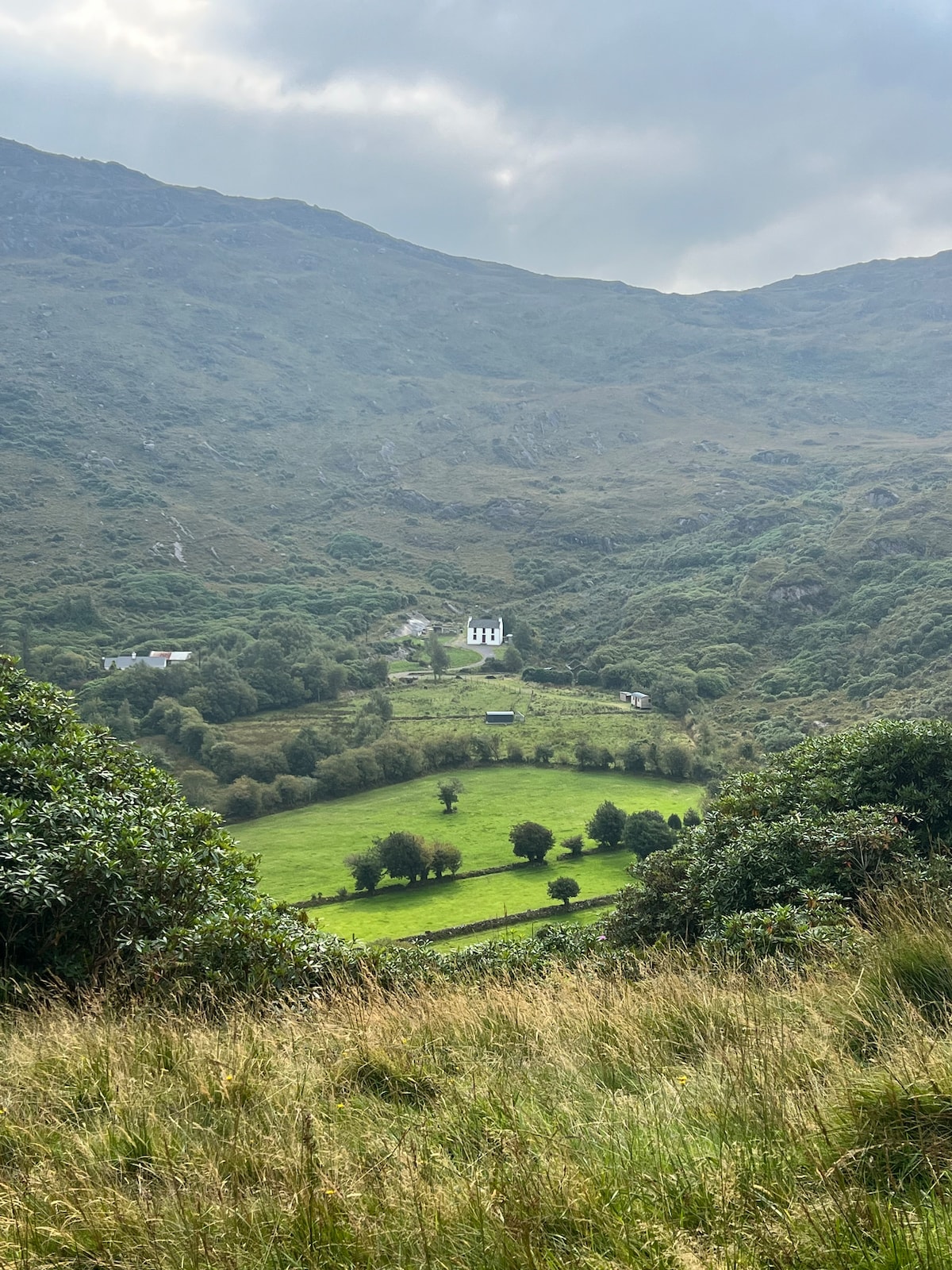
On S foothills of Sugarloaf Mountain. Disused narrow raodway (Wth 3.10m), defined by stone walls (H 0.9m; Wth 0.5m) runs E-W for c. 200m. Similar disused roadway to N running NE to Glengarrif, known locally as "Cromwells Road".
The above description is derived from the published 'Archaeological Inventory of County Cork. Volume 1: West Cork' (Dublin: Stationery Office, 1992). In certain instances the entries have been revised and updated in the light of recent research.
Date of upload/revision: 14 January 2009
The monument record does not grant public access. Check the route and ask the landowner before entering private land.
- What survives
- Recorded monument
Places near here
 Man-made underground passage in Curraduff (bear By., Kilcaskan Par.)Man-made underground passage · 591 yd
 Man-made underground passage in Curragh EastMan-made underground passage · 790 yd
 Ahnaclaha BrBridge · 983 yd
 Nareera South-West TopMountain / peak · 1.2 mi
 Sugarloaf Mountain West TopMountain / peak · 1.3 mi
 Penitential station in DerryloughPenitential station · 1.5 mi
 Mehal HeadHeadland · 2.0 mi
 Garinish WestIslet · 2.4 mi
 Shot HeadHeadland · 2.5 mi
 Old Stone CottagesHeritage attraction · 2.6 mi
 IllaunageraghIslet · 2.8 mi
 Hungry Hill GalleryGallery · 2.9 mi