What is recorded here
Situated on a NW-SE ridge of ground in a mountainous area. A wide metalled roadway (Wth 20m max.) known as 'Cromwell's Road' which has been reused in places as a modern road and elsewhere survives as a grass-covered metalled roadway. It is particularly well preserved where it follows the line of a field ditch on a NW-SE axis. Continuation of Roadway which is marked in SMR as TN026-055 and as TN031-042
The above description is derived from 'The Archaeological Inventory of County Tipperary. Vol. 1 - North Tipperary' compiled by Jean Farrelly and Caimin O'Brien (Dublin: Stationery Office, 2002). In certain instances the entries have been revised and updated in the light of recent research.
Date of upload/revision: 22 September 2008
The monument record does not grant public access. Check the route and ask the landowner before entering private land.
- What survives
- Recorded monument
Places near here
 R.C. Chapel, Grave YardChurch · 263 yd
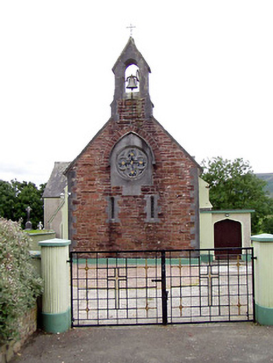 Catholic Church of the Sacred Heartchurch/chapel · 278 yd
 Fulacht fia in ClonaloughFulacht fia · 1235 yd
 Doonan's HillMountain / peak · 1.7 mi
 Ballyhourigan WoodsForest · 1.9 mi
 IndicatedFairy fort / earthen ringfort · 1.9 mi
 Boolatin TopMountain / peak · 2.3 mi
 Dunalley Castle (in ruins)Castle, unclassified · 3.2 mi
 The MinerMemorial · 4.0 mi
 Our Lady Assumed into HeavenMemorial · 4.1 mi
 Site of Ballygown CastleCastle, unclassified · 4.1 mi
 Silvermines ViewpointViewpoint · 4.2 mi