
What is recorded here
The following description is derived from both the published 'Archaeological Inventory of County Louth' (Dublin: Stationery Office, 1986) and the 'Archaeological Survey of County Louth' (Dublin: Stationery Office, 1991). In certain instances the entries have been revised and updated in the light of recent research.
Date of upload/revision: 17 July 2007
Situated at the tip of Ballagan Point c. 35m from the present shoreline. An irregularly-shaped mound (L 15m NW-SE, Wth 11.5m NE-SW, H 1.4m) aligned NW-SE, constructed of earth and stone, with some disturbance visible on surface. 'Man-made underground passage ware' of undecorated type was recovered from the surface disturbance in 1985.
The monument record does not grant public access. Check the route and ask the landowner before entering private land.
- What survives
- Recorded monument
Places near here
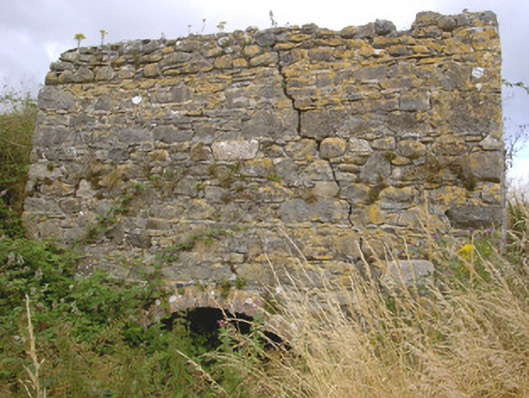 kilnkiln · 1452 yd
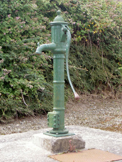 water pumpwater pump · 1560 yd
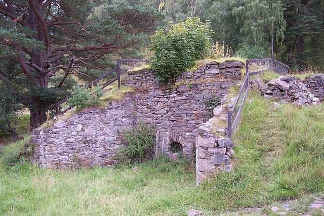 Old lime kilnArchaeological place · 1.8 mi
 Enclosure in MuchgrangeEnclosure · 1.9 mi
 Cooley PointHeadland · 2.0 mi
 St James WellSpring · 2.1 mi
 Cranfield PointHeadland · 2.3 mi
 Castle in RuinsCastle, unclassified · 2.4 mi
 GreenoreVisitor information · 2.4 mi
 Ballug CastleCastle · 2.7 mi
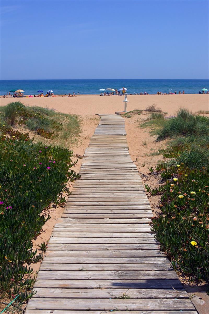 Beach - Costa del CeanfieldBeach / strand · 2.7 mi
 The BushPicnic place · 3.6 mi
Other information
Photo: Eric Jones · CC BY-SA 2.0