What is recorded here
The following description is derived from both the published 'Archaeological Inventory of County Louth' (Dublin: Stationery Office, 1986) and the 'Archaeological Survey of County Louth' (Dublin: Stationery Office, 1991). In certain instances the entries have been revised and updated in the light of recent research.
Date of upload/revision: 17 July 2007
Rectangular platform (max. dims. 30.5m NW-SE, 26m NE-SW) enclosed by earthen bank (Wth 7.5m, H 1-3.2m), reduced to a scarp except at NW. External fosse from SE-NW (Wth 6.5, D 1.3m). No ancient entrance recognisable.
The monument record does not grant public access. Check the route and ask the landowner before entering private land.
- What survives
- Recorded monument
Places near here
 Crinnians FortArchaeological place · 6 yd
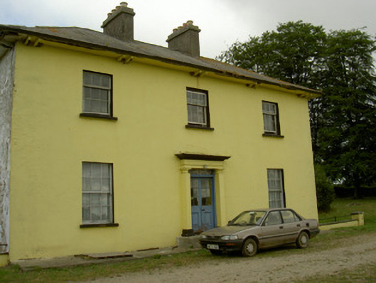 Tullakeel Househouse · 470 yd
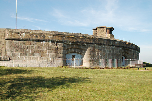 Murray's FortArchaeological place · 475 yd
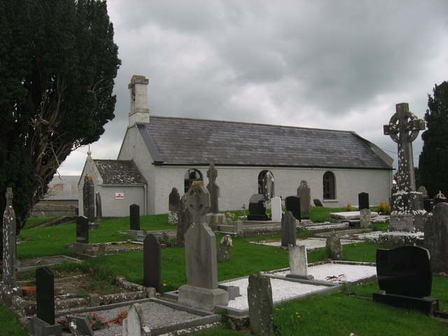 St. Medocs ChurchChurch · 1.0 mi
 The MountCastle, motte and bailey · 1.1 mi
 Matthew's HillMountain / peak · 1.1 mi
 MoatCastle, motte · 1.6 mi
 Flat cemetery in AnnaheanFlat cemetery · 2.3 mi
 Yellow HillMountain / peak · 2.5 mi
 Tree IslandWood · 3.3 mi
 Long PlantationForest · 4.1 mi
 Sir Frederick Foster MemorialMemorial · 4.5 mi