What is recorded here
Excavated as part of the Dundalk Western by-pass project (Excavation Licence No. 03E0867). The remains of one cremated adult female were uncovered in an oval pit (L 0.82m; Wth 0.61m; D 0.31m). The excavator suggested that it was probably associated with the Bronze Age Habitation site (LH004-139----) situated c. 20m to the E. (Delaney 2006, 340), (Delaney 2009, 18).
References:
Delaney, S. 2006 Carn More, Faughart Neolithic; Ringfort and Man-made underground passage. In I. Bennett (ed.), Excavations 2003: summary accounts of archaeological excavations in Ireland, 340 (No. 1272). Bray. Wordwell
Delaney, S. 2009 M1 Dundalk Western by-pass site 124: Carn More 1 chainage 24.350-24.550 NGR: 304357 / 310846, Final report on behalf of Louth County Council and the National Roads Authority Licence. Unpublished Report, DAHG 03E0867, Irish Archaeological Consultancy.
Compiled by: Claire Breen
Date of upload: 18 November 2011
The monument record does not grant public access. Check the route and ask the landowner before entering private land.
- What survives
- Recorded monument
Places near here
 Habitation site in Carn MoreHabitation site · 17 yd
 Man-made underground passage in Carn MoreMan-made underground passage · 76 yd
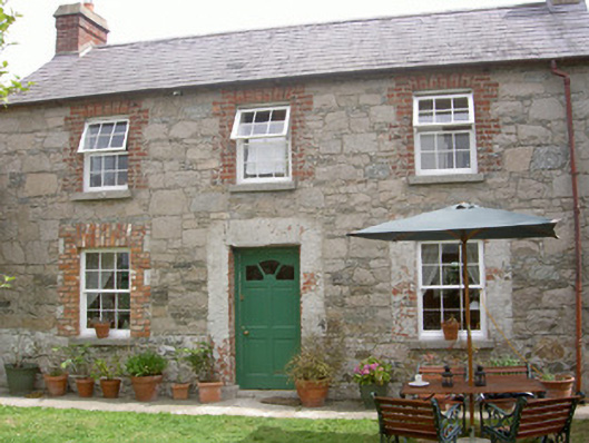 Mill Cottagegate lodge · 1372 yd
 Saint Brigid's Catholic Churchchurch/chapel · 1414 yd
 Raskeagh FortCastle, motte and bailey · 1.1 mi
 Battle of FaughartMajor battlefield · 1.1 mi
 Balregan CastleCastle, tower house · 1.1 mi
 MonascreebeMountain / peak · 1.7 mi
 Maid of ErinMemorial · 2.2 mi
 Bombing 1975Memorial · 2.2 mi
 Louth County MuseumMuseum · 2.2 mi
 SlievenaboleaMountain / peak · 2.2 mi