What is recorded here
Cremated remains in Cush mark a burial fire on the supposed site of Temaír Erann, ancient cemetery of the Ernai tribe. Ó Ríordáin found a charcoal-covered circle, a small elliptical hole full of bone fragments, and a cracked ornamental plaque that had shared the heat. The tumulus was built above that fire, preserving the moment when flesh became ash and memory became shape.
In rough pasture, in centre of an archaeological complex (LI048-034006/042-) located on the 'Supposed Site of Temaír Erann', which was the ancient cemetery of the Ernai tribe on Slievereagh (Sliabh Riabhach) (Westropp 1919, 9; Westropp 1917-19, 179; Westropp 1918, 111). One of three bowl-barrows (LI048-034010/012-), within a large field system (LI048-034001-), ringfort (LI048-034008-) lies 30m to NE and a cist (LI048-034015-) lies 38m to SW. Bowl-barrow listed as Tumulus II (LI048-034012-) with cremated burial , excavated by Ó Ríordáin (1940, 137-8) between 1934-5. Cremated remains described by Ó Ríordáin as follows; 'on the old ground surface an area irregularly circular in outline and about 12 feet [4m] in diameter was found to be covered with a light charcoal deposit in which were scattered fragments of cremated bone. It was evident that this area was the site of a fire, on which, no doubt, the cremation had been carried out and over which the tumulus [LI048-034012-] had been built. Near the centre of the fire-blackened area was a hole somewhat elliptical in outline (diameters 11 inches [0.28m] and 9½ inches [0.24]) and 4 inches [0.1m] deep’. The hole contained cremated bones mixed with charcoal while near the top of the deposit, covered by a thin layer of charcoal, was a small ornamented bone plaque. This plaque had evidently been in the fire and its surface was cracked by the heat' (ibid. 137).
See attached plan from Ó Ríordáin.
Compiled by: Fiona Rooney
Date of upload: 30 August 2021
A Neolithic cremation burial; part of a significant early historic archaeological complex associated with the Ernai tribe.
The monument record does not grant public access. Check the route and ask the landowner before entering private land.
- What survives
- Recorded monument
Places near here
 Quarry in CushQuarry · 29 yd
 Man-made underground passage in CushMan-made underground passage · 136 yd
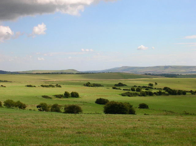 Field system in CushField system · 156 yd
 Bosnetstown Villahouse · 1131 yd
 Ballinvreena LoopVisitor information · 1164 yd
 Palatine's RockNamed rock · 1.7 mi
 SlievereaghMountain / peak · 1.7 mi
 Castle (in ruins)Castle, tower house · 1.8 mi
 Ballyhoura tourist informationVisitor information · 1.9 mi
 Ballyhoura WayWalking route · 1.9 mi
 Treada Na Ríogh (The Moat), hachuredCastle, motte · 2.0 mi
 Edmund's WellSpring · 2.2 mi