What is recorded here
Crebilly Historic Settlement in County Antrim dates to the post-medieval seventeenth century, when human life clustered around the land in ways now faded but still recorded. The exact layout has slipped from memory, yet the settlement name preserves the fact that people lived, worked and likely argued there before forgetting began. Its small map point marks a centre of lost rooms, paths and routines rather than a whole village, leaving the imagination to complete what measurement stopped short of naming.
The official Northern Ireland record identifies this as Crebilly Historic Settlement. Recorded period: C17TH; POST-MED. The official map point was placed at the centre of the recorded archaeological site from the source map reference.
The monument record does not grant public access. Check the route and ask the landowner before entering private land.
- What survives
- Recorded monument
Places near here
 CASTLE in CrebillyCASTLE · 273 yd
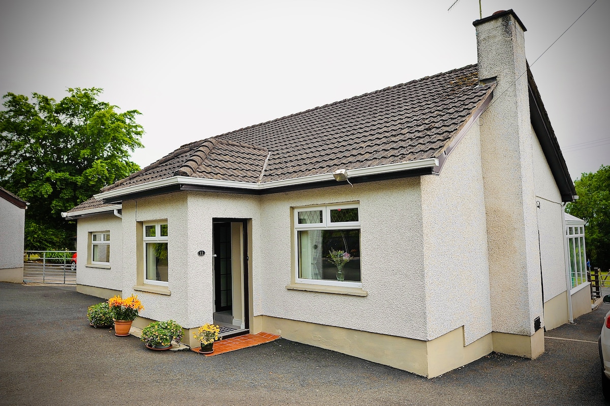 ENCLOSURE in CrebillyENCLOSURE · 828 yd
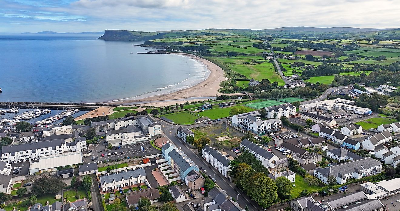 ENCLOSURE?: PRIESTSTOWN (small clachan) in CrebillyENCLOSURE?: PRIESTSTOWN (small clachan) · 1111 yd
 St. Patrick's ChurchChurch · 2.0 mi
 First Presbyterian ChurchChurch · 2.0 mi
 2025 Northern Ireland riotsriot · 2.3 mi
 MOUNDMOUND, CASHEL?: MCQUILLAN'S CASTLE · 3.0 mi
 SlemishMountain / peak · 5.3 mi
 Tardree MountainMountain / peak · 5.9 mi
 CarnearnyMountain / peak · 6.5 mi
 Tardree ForestForest · 6.5 mi
 Top WoodWood · 9.2 mi