
What is recorded here
The official Northern Ireland record identifies this as a Grade B listed building. Current recorded use: Church.
The official record and map point do not grant access. Many historic buildings are privately owned; view them only from public ground unless the owner allows entry.
Places near here
 St. Patrick's ChurchChurch · 181 yd
.jpg?width=1280) Town HallTown Hall · 181 yd
Town HallTown Hall · 181 yd 2025 Northern Ireland riotsriot · 438 yd
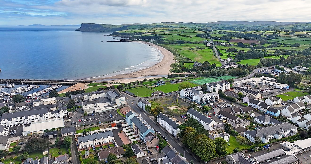 ENCLOSURE?: PRIESTSTOWN (small clachan) in CrebillyENCLOSURE?: PRIESTSTOWN (small clachan) · 1.4 mi
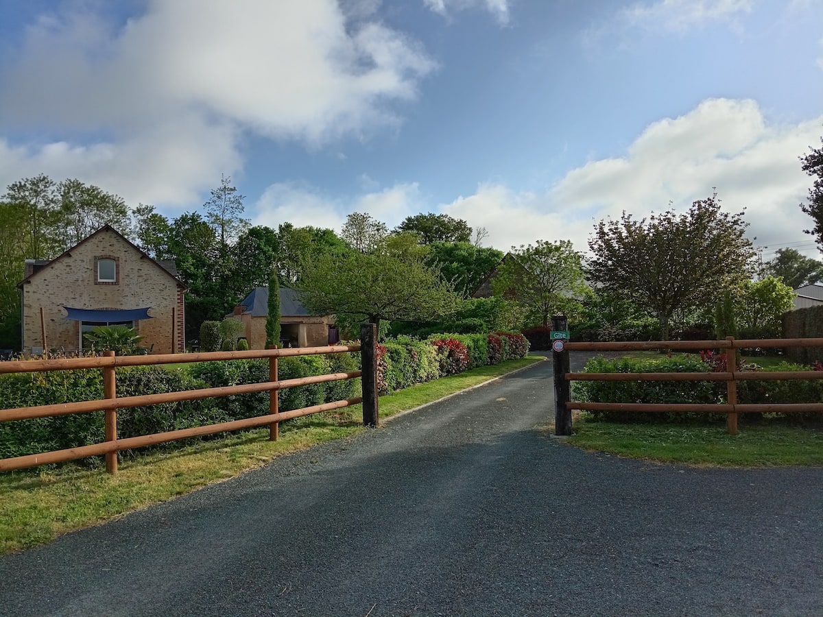 ENCLOSURE in BalleeENCLOSURE · 1.5 mi
 MOUNDMOUND, CASHEL?: MCQUILLAN'S CASTLE · 1.8 mi
 Galgorm CastleCastle · 1.8 mi
 TullyMountain / peak · 6.1 mi
 SlemishMountain / peak · 7.1 mi
 Top WoodWood · 7.2 mi
 Tardree MountainMountain / peak · 7.4 mi
 Tardree ForestForest · 7.7 mi
Other information
Photo: Gerald England · CC BY-SA 2.0