
What is recorded here
Crannoge Island is a small, overgrown oval rising barely thirty centimetres above Lough Macnean Upper in County Leitrim. Mapped as an antiquity since 1835, the name suggests a medieval crannog, yet no artificial structure remains visible beneath the reeds. The label outlasted the evidence, preserving a local belief that people once shaped this low mound into a defensible place before water and time erased the work.
Crannoge Island is recorded as a islet in County Leitrim. Its open map record supplies this location and any linked names or public references.
Places near here
 InishteigeIsland · 830 yd
 Creevaghern IslandIslet · 1091 yd
 Corracloona Court TombArchaeological place · 1.1 mi
 Sweat HoSweathouse · 1.7 mi
 Lough MacNean WalkWalking route · 1.9 mi
 Port IslandCastle, Anglo-Norman masonry castle · 2.4 mi
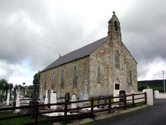 Saint Mary's Catholic Churchchurch/chapel · 2.9 mi
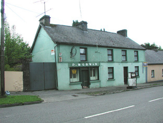 P. M'Gowanhouse · 2.9 mi
 Giant's GraveArchaeological place · 3.1 mi
 CarriganMountain / peak · 3.2 mi
 Ballintempo ForestForest · 3.7 mi
 CorrevanMountain / peak · 3.9 mi
Other information
Photo: Credit not shown in the picture search · Rights wording not checked; contact us if this picture should be removed