What is recorded here
Crannog in Tomkinroad is a lost artificial island jutting into Holy Lough, County Cavan, where peat and clay still hold charcoal and bone traces from ancient life. Davies measured its shallow rise in 1942, but the water has since swallowed the exact spot, leaving only his words and the lough’s quiet memory. It may have been a home, a hideout, or a place for ritual, yet the lake keeps that answer private.
Not marked on any OS ed. Davies (NMI Survey 1942) described an apparently artificial promontory rising about 0.3m above the water-level and jutting into Holy Lough in the Tomkin Road area. He noted that at W the promontory was composed entirely of peat. At E he identified a grey sandy clay at about 0.15m below water-level, and slight traces of a habitation layer at water-level containing charcoal and burnt and unburnt bones. Not located.
The above description is derived from the published 'Archaeological Inventory of County Cavan' (Dublin: Stationery Office, 1995). In certain instances the entries have been revised and updated in the light of recent research.
Date of upload/revision: 22 December 2008
The monument record does not grant public access. Check the route and ask the landowner before entering private land.
- What survives
- Recorded monument
Places near here
 Tomkinroad Househouse · 257 yd
 IndicatedFairy fort / earthen ringfort · 1038 yd
 Camalier ForestForest · 1.2 mi
 St Columba's Church of Ireland Churchchurch/chapel · 1.2 mi
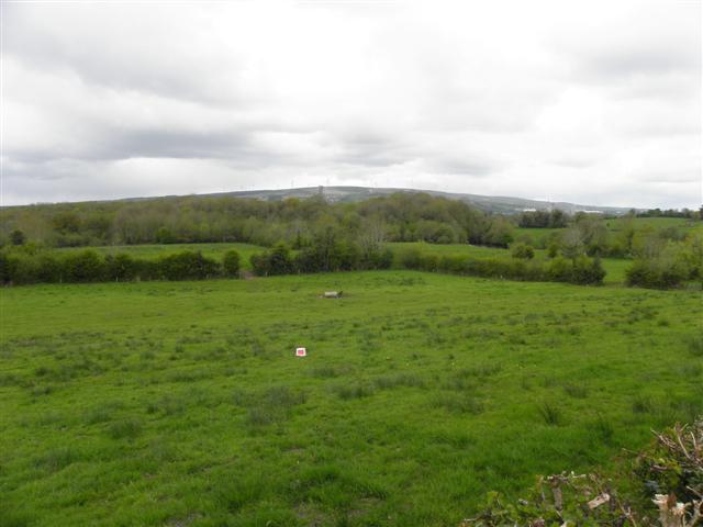 Enclosure in CuillaghanEnclosure · 1.3 mi
 Drumalee Bog WoodWood · 1.4 mi
 CastleCastle, unclassified · 2.0 mi
 KillycramphMountain / peak · 2.0 mi
 Castel Bagshaw in RuinsCastle, unclassified · 2.0 mi
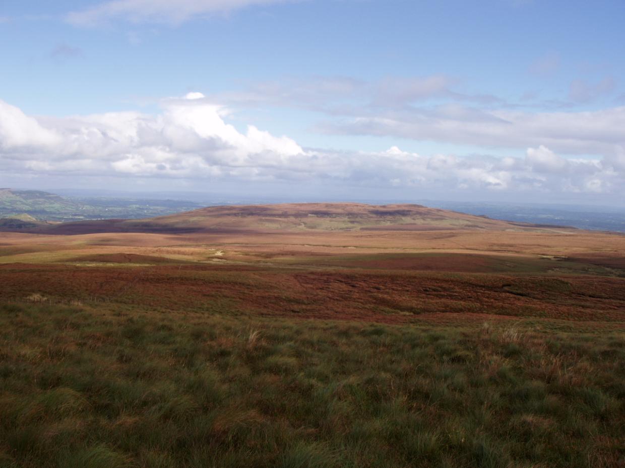 DrumettaghMountain / peak · 2.1 mi
 Kieran Doherty TD Cavan Monaghan MemorialMonument · 2.6 mi
 Mill WalkVisitor information · 2.9 mi