What is recorded here
Crannog in Tattycam Lough stands as a water-bound chamber in Rateen, County Fermanagh, where human hands shaped the wet earth into a living space. The lough holds the house beneath its surface, preserving the patience of its builders against the hunger of time. To dive toward that dark shape is to enter a room where forgotten people still breathe through the reeds.
The official Northern Ireland record identifies this as CRANNOG IN TATTYCAM LOUGH. Recorded period: E.CHRIST.; MEDIEVAL. Recorded protection: Scheduled. The official map point was placed at the centre of the recorded archaeological site from the source map reference.
The monument record does not grant public access. Check the route and ask the landowner before entering private land.
- What survives
- Recorded monument
Places near here
 Rateen National SchoolRuins · 126 yd
 Rathmoran CastleRuins · 511 yd
 GolanRuins · 828 yd
 ENCLOSURE in CoolnasillaghENCLOSURE · 1211 yd
 FORTIFICATION in TattycamFORTIFICATION · 1300 yd
 Tattycam ForestForest · 1332 yd
 Corflugh ForestForest · 1533 yd
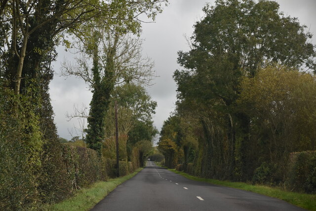 Mount DarbyMountain / peak · 1.3 mi
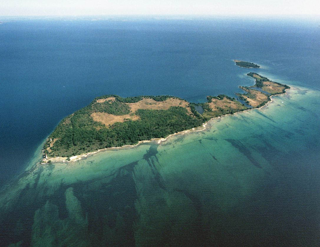 Duck IslandIslet · 1.6 mi
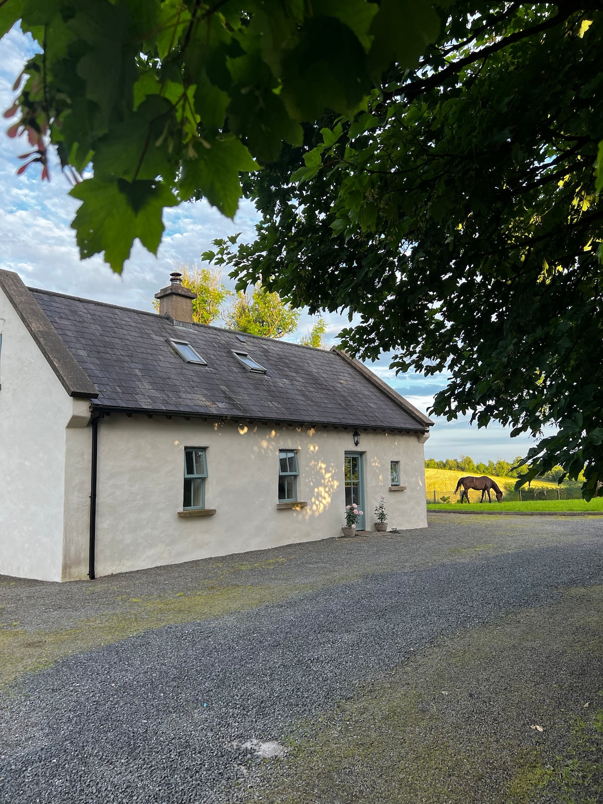 PLANTATION HOUSE & BAWN (unlocated) in LisnashillidaPLANTATION HOUSE & BAWN (unlocated) · 2.5 mi
 EschleaghMountain / peak · 3.1 mi
 Battle of Newtownbutlerbattle · 3.3 mi