What is recorded here
Situated in a low-lying landscape between drumlins with a small SW-NE stream just to the SE. It was first identified by John Bradley. This is an oval grass-covered mound (dims 30m N-S; 20m E-W; max. H 2m). Where the surface is poached charcoal and ash has been noted.
The above description is derived from the published 'Archaeological Inventory of County Meath' (Dublin: Stationery Office, 1987). In certain instances the entries have been revised and updated in the light of recent research.
Compiled by: Michael Moore
Date of revision: 5 September 2018
The monument record does not grant public access. Check the route and ask the landowner before entering private land.
- What survives
- Recorded monument
Places near here
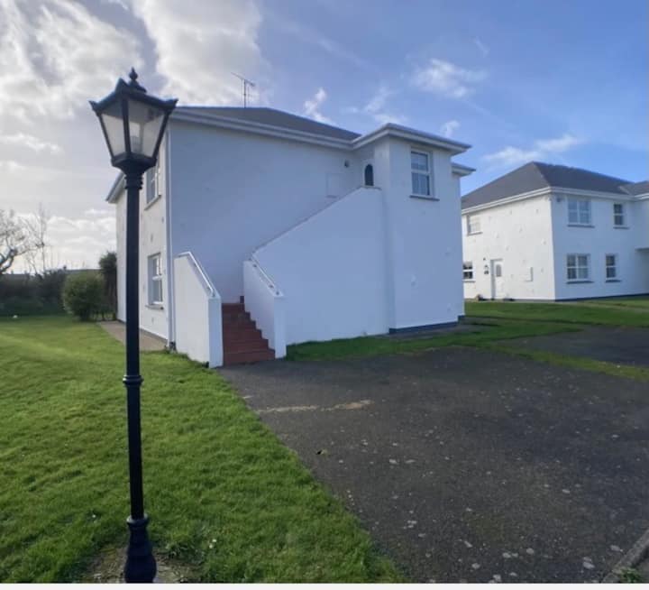 Enclosure in BrittasEnclosure · 885 yd
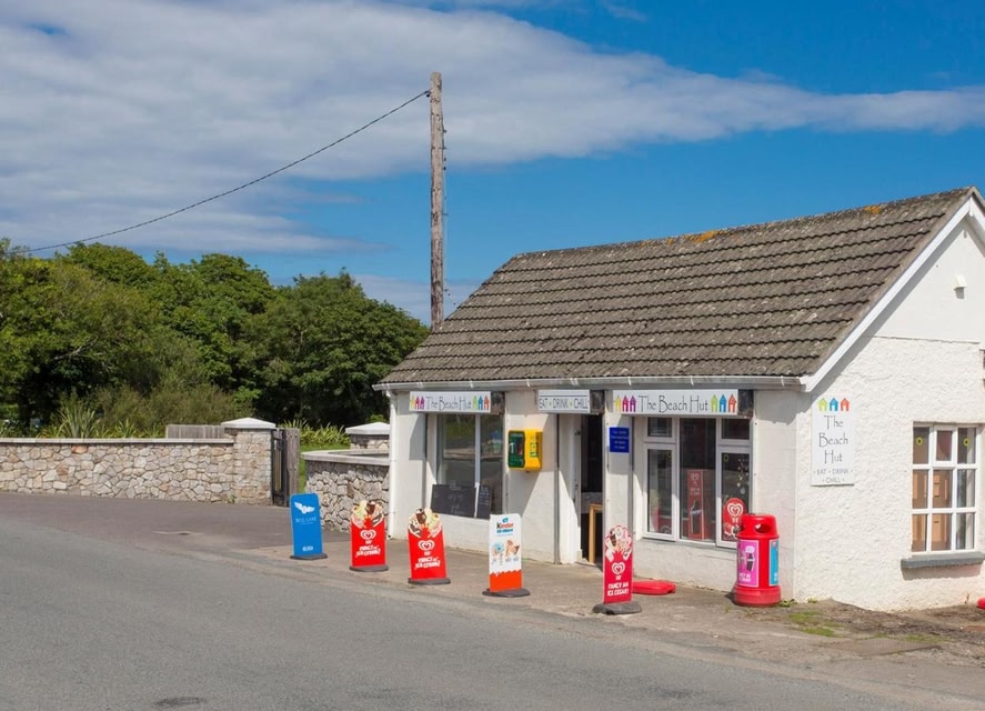 LIssanardFairy fort / earthen ringfort · 947 yd
 Common LimeCommon Lime · 985 yd
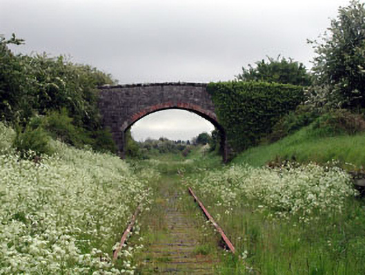 bridgebridge · 1016 yd
 Nobber GreenwayMemorial · 1048 yd
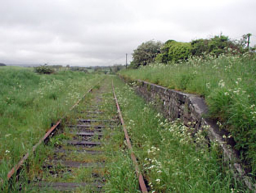 Nobber Railway Stationplatform · 1063 yd
 MoatCastle, motte and bailey · 1262 yd
 Cherburg WoodForest · 1334 yd
 Gallows HillMountain / peak · 1.1 mi
 HeadstownMountain / peak · 1.5 mi
 Bawn in Robertstown (kells Lower By.)Bawn · 2.3 mi
 Owenroe and Moynalty DrainageMemorial · 2.9 mi