What is recorded here
Crannog in Lough Gara is a crannog in Lough Gara, County Sligo, Ireland. The site occupies a wet meadow a few metres from an earlier shoreline. A possible low-cairn crannog measures 16.3 metres north-south, 10.6 metres east-west and rises 1.09 metres above the meadow. Shrubs and grass cover the surface, where angular stones about 0.3 to 0.4 metres across remain set firmly in the ground.
In a wet meadow, a few metres out from an earlier shoreline of Lough Gara. A possible low-cairn crannog (16.3m N-S; 10.6m E-W; H 1.09m above the meadow) overgrown with shrubs and grass. The surface consists of angular stones (diam. c. 0.3-0.4m) set firmly in the ground.
The above description is derived from the published 'Archaeological Inventory of County Sligo' compiled by Ursula Egan, Elizabeth Byrne, Mary Sleeman with Sheila Ronan and Connie Murphy (Dublin Stationery Office, 2005).
Date of upload: 18 January 2008
The monument record does not grant public access. Check the route and ask the landowner before entering private land.
- What survives
- Recorded monument
Places near here
 IndicatedFairy fort / stone ringfort · 918 yd
 Enclosure in TawnymucklaghEnclosure · 939 yd
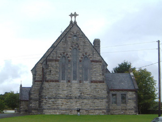 Saint Aidan's Catholic Churchchurch/chapel · 1304 yd
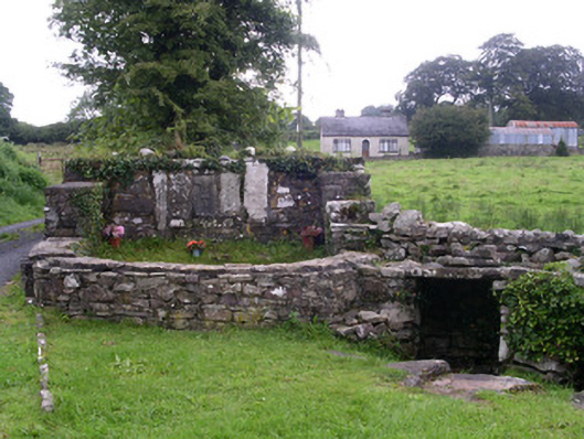 Saint Attracta's Wellholy well · 1.2 mi
 Castle PointHeadland · 1.7 mi
 Crow IslandIslet · 1.8 mi
 Rose PointHeadland · 1.8 mi
 Castle (in Ruins)Castle, unclassified · 1.8 mi
 Inch IslandIslet · 2.0 mi
 Moygara CastleCastle · 2.2 mi
 Square WoodForest · 4.6 mi
 Gray's WoodForest · 4.8 mi