What is recorded here
Standing 100m NE of Dysart Island off the W shoreline of Lough Ennell. Listed as Dysart Island 2 and described by O'Sullivan (2004, 93) as comprising of a 'circular cairn (approx. diam. 15m; H 2m) built on sandy lake marl, in c. 1.6m, standing 10cm above water levels. It is constructed of medium to small sized stones. It has a level surface, an even profile and slopes steeply into the water on all sides. It is almost completely submerged under the water. This is an unusual site, a small stony islet in an isolated location, in deep water'.
Compiled by: Caimin O'Brien
Date of upload: 14 February 2017
The monument record does not grant public access. Check the route and ask the landowner before entering private land.
- What survives
- Recorded monument
Places near here
 Great IslandBastioned fort · 167 yd
 Dysart IslandIsland · 336 yd
 Ash IslandIslet · 343 yd
 OutlinedCastle, unclassified · 1153 yd
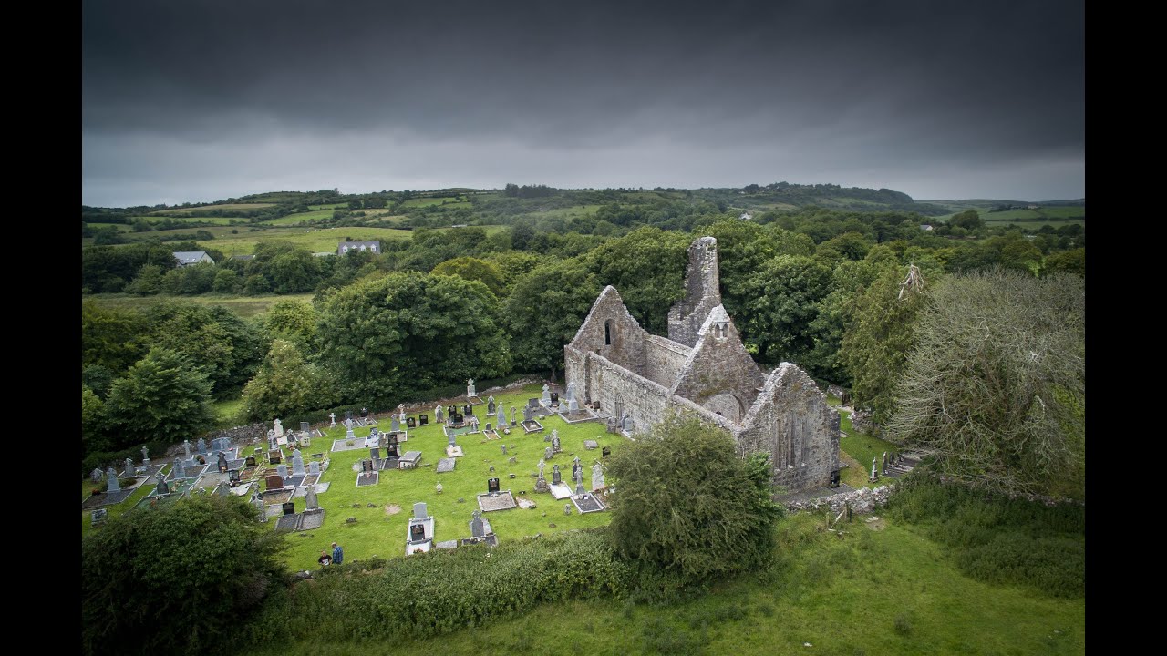 Bawn in Dysart (moyashel & Magheradernon By.)Bawn · 1208 yd
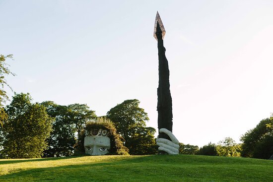 Hachured, Dun-na-SgiathFairy fort / earthen ringfort · 1578 yd
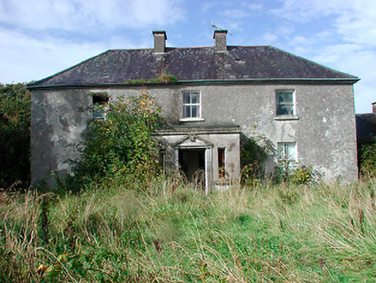 Kilcooley Housefarm house · 1671 yd
 Church (in Ruins)Church · 1.2 mi
 Mollie Moo's Pet FarmHeritage attraction · 1.7 mi
 Belvedere house and gardensVisitor information · 1.8 mi
 Ardan WoodWood · 7.8 mi
 Bonfire HillMountain / peak · 8.3 mi