What is recorded here
Crannog in Farranseer is a small tree-covered island in County Cavan that appeared on the 1908 map but resisted every later attempt to pin it down. The lough itself has shrunk from a broad teardrop to a narrow rectangular basin, yet the island still emerges in aerial imagery as if refusing to disappear. Anne-Karoline Distel first pointed it out, but nobody has walked its mossy edge or lifted a stone there. It remains a living absence: present enough to see, hidden enough to deny, waiting for someone brave enough to wade in and ask what it wants.
A small island (diam. c. 10m) is depicted only on the 1908 edition of the OS 6-inch map in Farranseer Lough which is now a small rectangular area of open water (max. dims c. 150m NW-SE; c. 90m NE-SW) but the lake was once a larger teardrop-shaped area (dims c. 250m N-S; c. 180m E-W). The tree-covered island is visible on all the available aerial imagery and was first reported by Anne-Karoline Distel but it has not yet been visited.
Compiled by: Michael Moore
Date of upload: 29 November 2022
The monument record does not grant public access. Check the route and ask the landowner before entering private land.
- What survives
- Recorded monument
Places near here
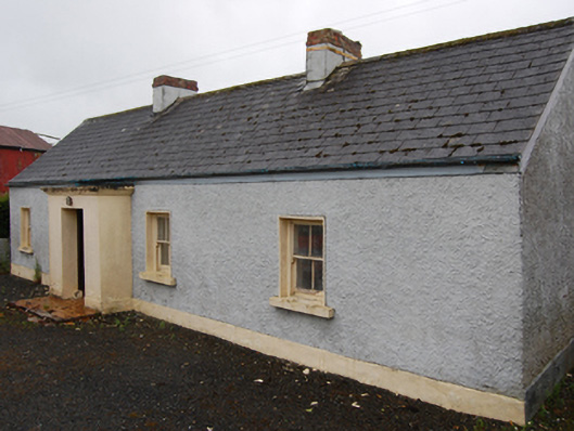 farm housefarm house · 731 yd
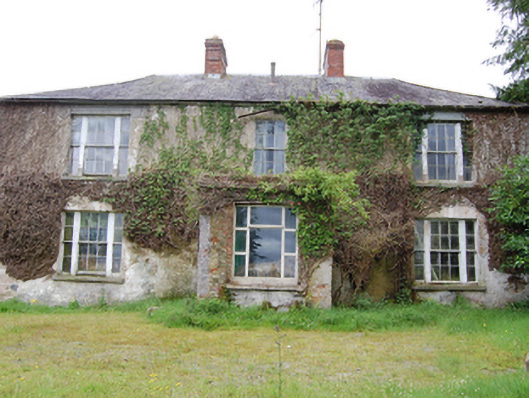 Corr Housecountry house · 1426 yd
 Cornafean GFCMemorial · 1467 yd
 IndicatedFairy fort / earthen ringfort · 1632 yd
 CorrMountain / peak · 1.1 mi
 Lismore DemesneForest · 1.1 mi
 LismoreFairy fort / earthen ringfort · 1.3 mi
 White Lough ForestForest · 1.4 mi
 DrumcarbanMountain / peak · 1.4 mi
 Lismore CastleCastle, unclassified · 1.4 mi
 Castle CosbyCastle, unclassified · 2.3 mi
 Red IslandIslet · 2.9 mi