What is recorded here
Crannog in Corratinner is a small roughly circular island about 18m across, sitting 20m from the shore in County Cavan. It was already marked on Ordnance Survey maps in 1836 and 1876, so people had been placing it, visiting it or avoiding it for generations before modern records. The water would have closed around it at once, making the crannog a room with no walls and a roof of sky.
Small roughly circular island (diam. c. 18m) in Corratinner Lough, c. 20m from the shoreline. Marked on OS 1836 and 1876 eds.
The above description is derived from the published 'Archaeological Inventory of County Cavan' (Dublin: Stationery Office, 1995). In certain instances the entries have been revised and updated in the light of recent research.
Date of upload/revision: 22 December 2008
The monument record does not grant public access. Check the route and ask the landowner before entering private land.
- What survives
- Recorded monument
Places near here
 Enclosure in Beagh GlebeEnclosure · 714 yd
 Tober UltanHoly well · 853 yd
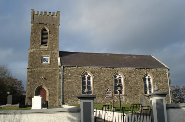 Killinkere Church of Ireland Churchchurch/chapel · 890 yd
 Doon Wet WoodlandWood · 959 yd
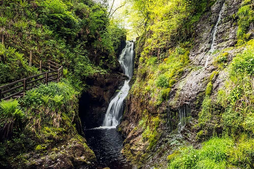 Annagharnet North ForestForest · 991 yd
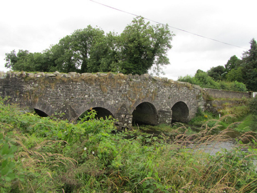 Killinkere Bridgebridge · 1125 yd
 Beagh GlebeMountain / peak · 1276 yd
 Birthplace of General Philip SheridanMemorial · 1303 yd
 Carraig-na-SasanacNamed rock · 1.1 mi
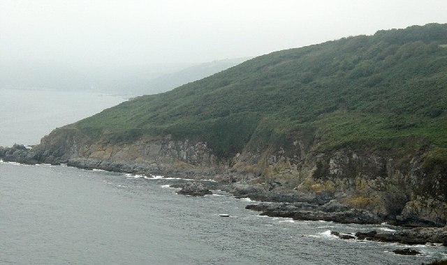 Black RockMountain / peak · 1.2 mi
 The Big Man's GraveArchaeological place · 1.2 mi
 Welcome to VirginiaVisitor information · 3.3 mi