What is recorded here
Large subcircular island (dims. c. 35m NW-SE; c. 28m WSW-ENE) in Cormuttog Lough, c. 110m from the shoreline. Marked on OS 1836 and 1876 eds. This lake has been drained and is now marshland. The site is no longer identifiable.
The above description is derived from the published 'Archaeological Inventory of County Cavan' (Dublin: Stationery Office, 1995). In certain instances the entries have been revised and updated in the light of recent research.
Date of upload/revision: 22 December 2008
The monument record does not grant public access. Check the route and ask the landowner before entering private land.
- What survives
- Recorded monument
Places near here
 Giant's GraveArchaeological place · 1523 yd
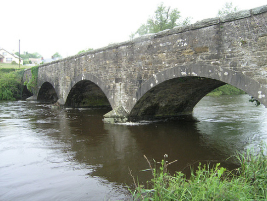 Ballynallon Bridgebridge · 1733 yd
 Embanked enclosureBawn · 1.0 mi
 St Mary's Roman Catholic Churchchurch/chapel · 1.0 mi
 Fort HenryArchaeological place · 1.1 mi
 CastleCastle, unclassified · 1.3 mi
 Rookery WoodForest · 1.7 mi
 McCullagh's PlantationWood · 1.7 mi
 DernaskeaghMountain / peak · 1.8 mi
 Enclosure in RakennyEnclosure · 1.8 mi
 CorrakeeranMountain / peak · 2.5 mi
 Giants GraveArchaeological place · 3.8 mi