What is recorded here
Hazelwood Crannog rose from the Ballygolan water as a small island fortress, forcing people to build upward instead of outward. Its timber deck and staked walls would have shaken during storms, reminding everyone that the lake could take the house back at any moment. Living there meant hearing water move beneath every footstep and sharing the sky with birds that never landed on solid ground.
The official Northern Ireland record identifies this as CRANNOG: BALLYGOLAN FORT, HAZELWOOD CRANNOG. Recorded period: E.CHRIST.. The official map point was placed at the centre of the recorded archaeological site from the source map reference.
The monument record does not grant public access. Check the route and ask the landowner before entering private land.
- What survives
- Recorded monument
Places near here
 Bellevue Area of Special Scientific InterestCliff · 506 yd
 Cave Hill CaveCave · 774 yd
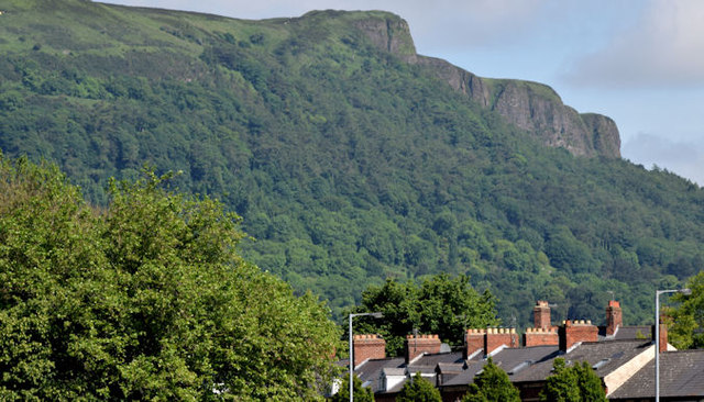 Cave HillCliff · 854 yd
 CavehillMountain / peak · 1102 yd
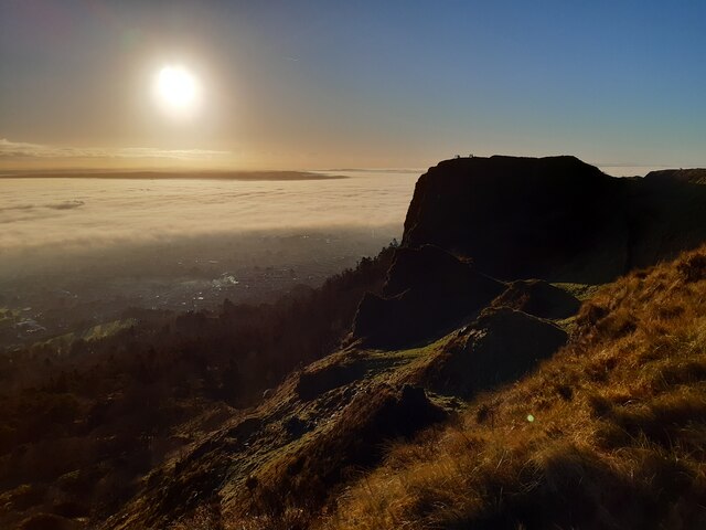 McArt's FortMountain / peak · 1117 yd
 PROMONTORY FORT: McART'S FORT in BallyaghaganPROMONTORY FORT: McART'S FORT · 1130 yd
 KIDNEY-SHAPED ENCLOSURE in BallyaghaganKIDNEY-SHAPED ENCLOSURE · 1142 yd
 Belfast CastleHeritage attraction · 1562 yd
 Belfast Castle Estate TrailWalking route · 1587 yd
 Cave Hill TrailWalking route · 1711 yd
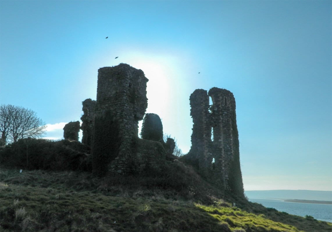 TOWER-HOUSE: GREENCASTLE, GREENCASTLE, CLOUGHCASTELLA, CLOUGHCASTELLA, CLOCHMESTALE in GreencastleTOWER-HOUSE: GREENCASTLE, GREENCASTLE, CLOUGHCASTELLA, CLOUGHCASTELLA, CLOCHMESTALE · 1.1 mi
 Limestone QuarryCliff · 1.2 mi