What is recorded here
In Lagan, County Monaghan, a trapezoidal grass mound stretches 31 metres along a south-facing slope, preserving chambers that open toward the horizon like cupped hands. Displaced flags at the northeast end hint at a shallow court, while set stones further south suggest rooms now lost to time. The structure still points inward, waiting for the dead or the living to remember why it was built.
Located just off the crest of a S-facing slope. A roughly trapezoidal grass-covered mound (L 31m; Wth 11.5m) with some scrub is aligned NE-SW. A series of displaced flags at the NE end may represent the shallow court. Behind these are two subsidiary chambers opening to the NW and another opening to the SE. There are a number of set stones which appear to represent other chambers further SW, although no main gallery is evident. The surviving chambers are comparable to court-tomb subsidiary chambers.
The above description is derived from the published 'Archaeological Inventory of County Monaghan' (Dublin: Stationery Office, 1986). In certain instances the entries have been revised and updated in the light of recent research.
Revised by: Michael Moore
Date of revision: 9 May 2018
Court tomb, dating to the Neolithic period (c. 4000–2500 BCE). This type of tomb is significant as an early form of megalithic funerary monument, often associated with communal burial and ritual practices in prehistoric Ireland.
The monument record does not grant public access. Check the route and ask the landowner before entering private land.
- What survives
- Recorded monument
Places near here
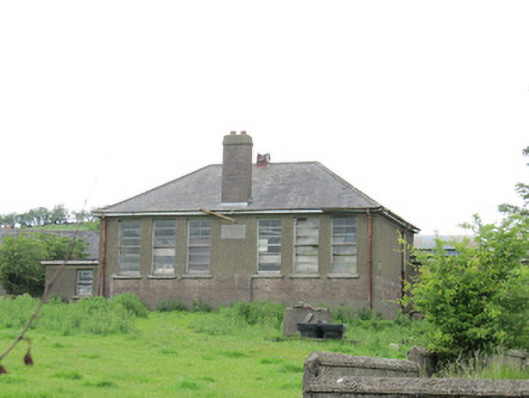 Scoil Náisiúnta Ultán Naomhthaschool · 548 yd
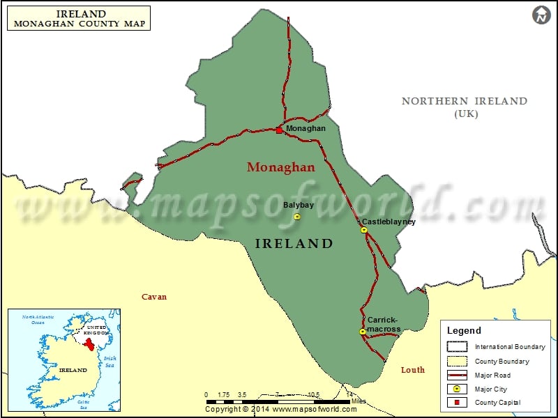 IndicatedFairy fort / stone ringfort · 808 yd
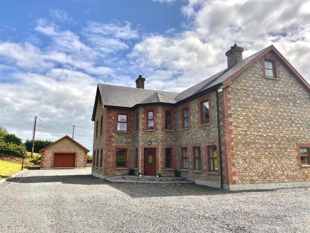 Cist in LattonfaskyCist · 1351 yd
 IllanshivansIslet · 1.1 mi
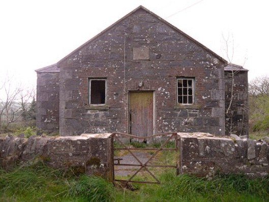 Annagleve National Schoolschool · 1.2 mi
 Rock IslandIslet · 1.3 mi
 Fincarn HillMountain / peak · 1.6 mi
 Tally WoodWood · 3.1 mi
 The CrescentMemorial · 3.1 mi
 Monaghan WayWalking route · 3.1 mi
 Bawn in OnomyBawn · 3.4 mi
 Blaney CastleCastle · 3.4 mi