
What is recorded here
The Archaeological Survey of Ireland (ASI) is in the process of providing information on all monuments on The Historic Environment Viewer (HEV). Currently the information for this record has not been uploaded. To access available information for research purposes please make an appointment in advance with the Archive Unit (open Fridays 10.00 am – 5.00 pm), Department of Housing, Local Government and Heritage, The Custom House, Dublin 1 D01W6XO or email NMarchive@housing.gov.ie.
The monument record does not grant public access. Check the route and ask the landowner before entering private land.
- What survives
- Recorded monument
Places near here
 Corn MillMill, corn · 267 yd
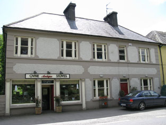 The Old Mill Storeshouse · 275 yd
 LisheennanarmFairy fort / earthen ringfort · 341 yd
 Burial ground in Gortroe (carbery E. (w.d) By., Kilmacabea Par.)Burial ground · 1127 yd
 William Thompson MemorialMemorial · 1.1 mi
 Castle SalemCastle · 1.7 mi
 Walk 1 - Drombeg Standing Stone Circle (7 - 9 km)Walking route · 1.9 mi
 Drombeg Stone CircleArchaeological place · 2.0 mi
 Drombeg Fulacht Fia and RuinsVisitor information · 2.0 mi
 Leap waterfallHeritage attraction · 2.3 mi
 Myross PointHeadland · 2.5 mi
 Trá an tAonaighBeach / strand · 2.5 mi
Other information
Photo: Credit not shown in the picture search · Rights wording not checked; contact us if this picture should be removed