What is recorded here
Scarcely a thing is known about this forgotten mark except that it still exists under a formal name. It may have been a boundary, a shelter or a mistake written twice. What is certain is that the land remembers the shape even when people stop repeating it.
The official Northern Ireland record identifies this as COUNTERSCARP RATH. Recorded period: E.CHRIST.. Recorded protection: Scheduled. The official map point was placed at the centre of the recorded archaeological site from the source map reference.
The monument record does not grant public access. Check the route and ask the landowner before entering private land.
- What survives
- Recorded monument
Places near here
 ENCLOSURE in MagheralaveENCLOSURE · 581 yd
 ENCLOSURE (O.S. memoir site, unlocated) in AghalisloneENCLOSURE (O.S. memoir site, unlocated) · 969 yd
,_Derriaghy_(1)_-_geograph.org.uk_-_2990104.jpg?width=1280) Christ Church of IrelandChurch · 1.1 mi
Christ Church of IrelandChurch · 1.1 mi_-_geograph.org.uk_-_3541538.jpg?width=1280) Harmony Hill Presbyterian ChurchChurch · 1.1 mi
Harmony Hill Presbyterian ChurchChurch · 1.1 mi Lisburn War MemorialMemorial · 1.7 mi
 Linen Centre and MuseumMuseum · 1.8 mi
 CASTLE later ARTILLERY FORT (site of) & GATE: LISBURN CASTLE, CASTLE GARDENS, LISNAGARVEY in LisburnCASTLE later ARTILLERY FORT (site of) & GATE: LISBURN CASTLE, CASTLE GARDENS, LISNAGARVEY · 1.8 mi
 The Wallace MemorialMemorial · 1.8 mi
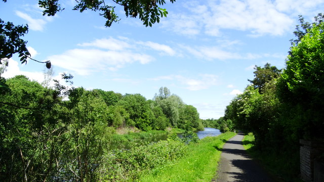 Lagan Valley IslandIsland · 1.8 mi
 Belshaw's Quarry Nature ReserveNature reserve · 1.9 mi
 Welcome to Lagan Valley Regional ParkVisitor information · 1.9 mi
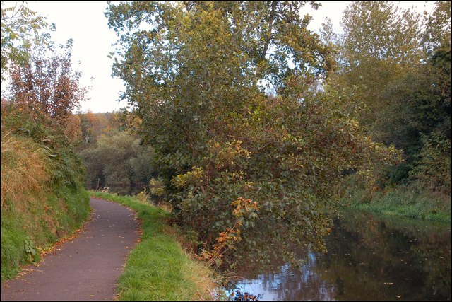 Lagan TowpathWalking route · 2.2 mi