What is recorded here
Counterfort rath in Keeran Beg, Fermanagh: a buried ring of earth and stone, old enough to predate Christian writing, still holding its shape under grass. It may have been a fortress, a boundary marker, or a child's climbing hill; the land keeps that much private.
The official Northern Ireland record identifies this as COUNTERSCARP RATH. Recorded period: E.CHRIST.. The official map point was placed at the centre of the recorded archaeological site from the source map reference.
The monument record does not grant public access. Check the route and ask the landowner before entering private land.
- What survives
- Recorded monument
Places near here
 ENCLOSURE in CoolnasillaghENCLOSURE · 628 yd
 Cloghagaddy StoneArchaeological place · 771 yd
 LisnamallardRuins · 1245 yd
 Rathmoran CastleRuins · 1319 yd
 GolanRuins · 1499 yd
 Coolnasillagh ForestForest · 1703 yd
 Tattycam ForestForest · 1.1 mi
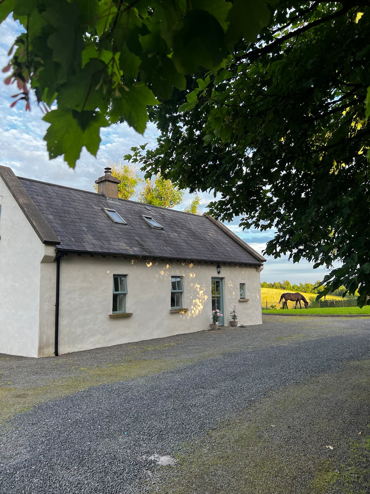 PLANTATION HOUSE & BAWN (unlocated) in LisnashillidaPLANTATION HOUSE & BAWN (unlocated) · 2.2 mi
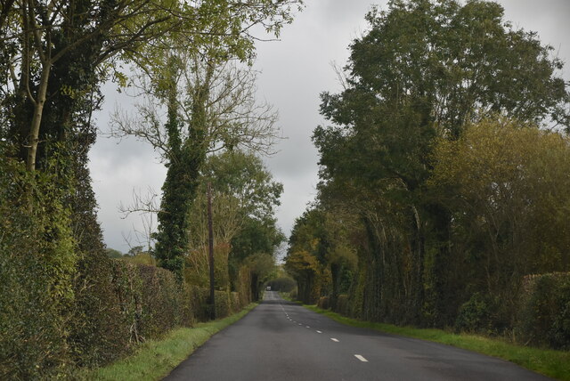 Mount DarbyMountain / peak · 2.3 mi
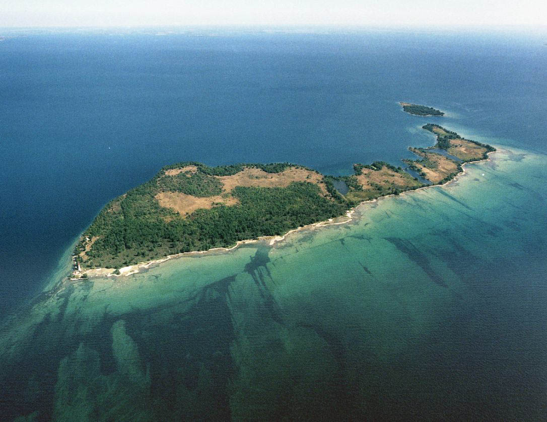 Duck IslandIslet · 2.6 mi
 Battle of Newtownbutlerbattle · 2.7 mi
 EschleaghMountain / peak · 3.7 mi