What is recorded here
CounterScarp Rath in Glencunny remains an unmarked scar on the Fermanagh landscape, stripped of every human detail that could make it visible. The official record offers only a name, a county and an empty period, refusing to acknowledge the hands that built it or the lives lost inside it. What is known has been erased, leaving behind a void that mocks every claim to certainty.
The official Northern Ireland record identifies this as COUNTERSCARP RATH. Recorded period: E.CHRIST.. The official map point was placed at the centre of the recorded archaeological site from the source map reference.
The monument record does not grant public access. Check the route and ask the landowner before entering private land.
- What survives
- Recorded monument
Places near here
 Letterbreen Methodist ChurchChurch · 1.4 mi
 ENCLOSURE in LankillENCLOSURE · 1.5 mi
 Rossorry ChurchChurch · 2.3 mi
 ENCLOSURE in CulkyENCLOSURE · 2.4 mi
 Castle IslandIslet · 2.9 mi
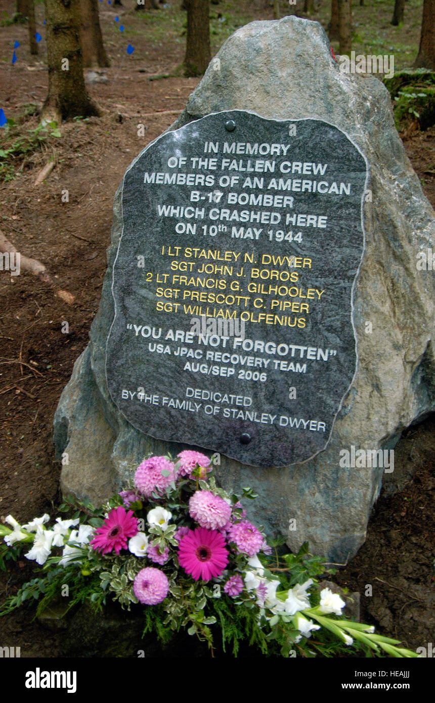 B17 Crash MemorialMonument · 2.9 mi
 Sheelin Lace MuseumMuseum · 3.0 mi
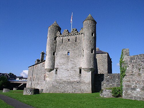 Enniskillen CastleCastle · 3.0 mi
 ENNISKILLEN CASTLE in EnniskillenENNISKILLEN CASTLE · 3.0 mi
 Boer War MemorialMemorial · 3.1 mi
 PLANTATION BAWN (unlocated) in MoyglassPLANTATION BAWN (unlocated) · 3.1 mi
 Croaghrim HillMountain / peak · 3.2 mi