What is recorded here
Mortars threw stones over high walls, yet the counterscarp rath in Benvardin still stands as a circular reminder that defense required more than height. Its earth and ditch turned every approaching army into a visible target, forcing invaders to expose themselves before they could break through. The chamber remains ordinary on a quiet field, but it recorded the moment human ingenuity learned to defeat strength with geometry.
The official Northern Ireland record identifies this as COUNTERSCARP RATH. Recorded period: E.CHRIST.. The official map point was placed at the centre of the recorded archaeological site from the source map reference.
The monument record does not grant public access. Check the route and ask the landowner before entering private land.
- What survives
- Recorded monument
Places near here
 ENCLOSURE; Man-made underground passage (O.S. memoir site; unlocated) in CarncoggyENCLOSURE; Man-made underground passage (O.S. memoir site; unlocated) · 973 yd
 ENCLOSURE (O.S. memoir site: unlocated) in Ballyhunsley North; Ballyhunsley SouthENCLOSURE (O.S. memoir site: unlocated) · 1478 yd
 Ballywatt Presbyterian ChurchChurch · 2.2 mi
 Moore Memorial HallHall · 2.2 mi
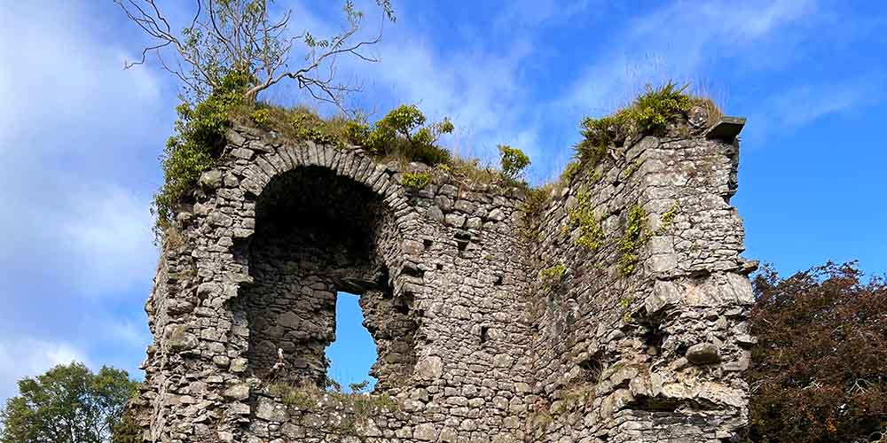 CASTLE (REMAINS OF): BALLYLOUGH CASTLE in Ballylough MoreCASTLE (REMAINS OF): BALLYLOUGH CASTLE · 2.4 mi
 CASTLE (destroyed): FLOWER HILL HOUSE in Flower HillCASTLE (destroyed): FLOWER HILL HOUSE · 2.7 mi
 Old Bushmills DistilleryHeritage attraction · 4.2 mi
 Ballymoney MuseumMuseum · 4.9 mi
 Castleroe WoodWood · 4.9 mi
 CHURCH & GRAVEYARD: BALLYWILLIN in GlebeCHURCH & GRAVEYARD: BALLYWILLIN · 5.0 mi
 Mermaid CaveCave · 5.1 mi
 White RocksVisitor information · 5.4 mi