What is recorded here
No credible facts were supplied for that request. The claim may be invented or may use a name that does not match the evidence. I should not have generated the answer.
The official Northern Ireland record identifies this as COUNTERSCARP RATH. Recorded period: E.CHRIST.. The official map point was placed at the centre of the recorded archaeological site from the source map reference.
The monument record does not grant public access. Check the route and ask the landowner before entering private land.
- What survives
- Recorded monument
Places near here
 Strongbow IslandIsland · 799 yd
 FORTIFICATION?: STRONGBOW'S ISLAND in Strongbow IslandFORTIFICATION?: STRONGBOW'S ISLAND · 810 yd
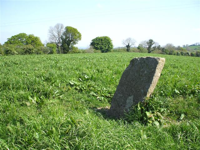 STANDING STONE in ClareviewSTANDING STONE · 820 yd
 Crevinishaughy islandIsland · 1129 yd
 RAF Castle Archdale Flying Boat Dock: DHR 00214:001 in RossmoreRAF Castle Archdale Flying Boat Dock: DHR 00214:001 · 1.1 mi
 Crevenish CastleHeritage attraction · 1.2 mi
 WW2 ammunitions store (part of RAF Castle Archdale) in RossmoreWW2 ammunitions store (part of RAF Castle Archdale) · 1.3 mi
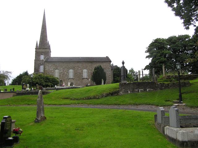 CHURCH (unlocated) in BallymacataggartCHURCH (unlocated) · 1.3 mi
 St. Patrick's ChurchChurch · 2.1 mi
 Dooraa HillMountain / peak · 3.3 mi
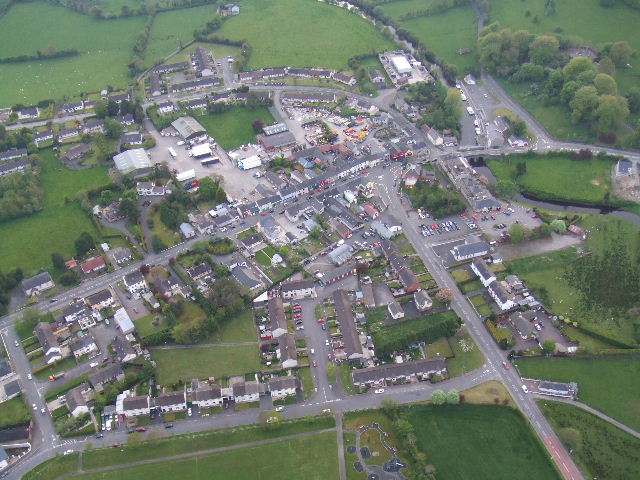 Kesh ForestForest · 4.0 mi
 Cassidy WoodWood · 4.2 mi