What is recorded here
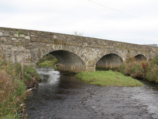
Triple-arch road-bridge over Donagh River, erected c. 1870. Segmental arches with squared-rubble stone voussoirs. Squared rubble piers and triangular cutwaters. Random rubble walls to parapets with roughcast rendered coping, cement-block repairs and stringcourse at deck-level. Cement rendering to vaults and inside of piers. Double carriageway with tarmac to deck. Located to north of Carndonagh.
An attractive, solidly built bridge, complementary to its rural setting. A crossing point is marked on the Ordnance Survey first edition six-inch map of c. 1837, but the construction of the bridge must be later. It has long served as an important crossing point over the Donagh River and its continued use is testament to its design and construction.
This does not grant access. Most recorded buildings are privately owned; view them only from public ground unless the owner allows entry.
Places near here
 Brachán Househouse · 514 yd
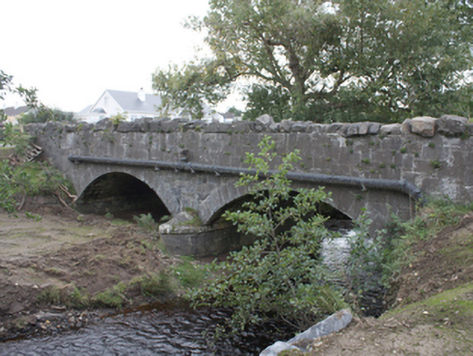 Strawbridge Bridgebridge · 603 yd
 IndicatedHoly well · 1395 yd
 Drumaville Fairy FortFairy fort / earthen ringfort · 1.0 mi
 Carndonagh Early Church GraveyardGraveyard · 1.6 mi
 Dough Famine VillageHeritage attraction · 4.1 mi
 Doagh Famine VillageMuseum · 4.1 mi
 Lag GraveyardGraveyard · 4.4 mi
 CastleCastle, unclassified · 4.5 mi
 Five Finger StrandBeach / strand · 4.5 mi
 CuldaffOfficial bathing water · 4.6 mi
 Bawn in CarrickabraghyBawn · 5.5 mi
Other information
Photo: National Inventory of Architectural Heritage · Website use allowed for educational or private purposes with source credit