What is recorded here
In pasture, adjacent to a small river. A corn mill is indicated at this location on the 1838 OS 6-inch map. A mill pond is shown to S of the mill building, linked by a mill race to a river at SE. The mill is no longer extant (Morahan 2001, 140). There is no evidence to suggest that this mill is of a date earlier than the 18th century.
Compiled by: Jane O'Shaughnessy
Date of upload: 14 July 2015
The monument record does not grant public access. Check the route and ask the landowner before entering private land.
- What survives
- Recorded monument
Places near here
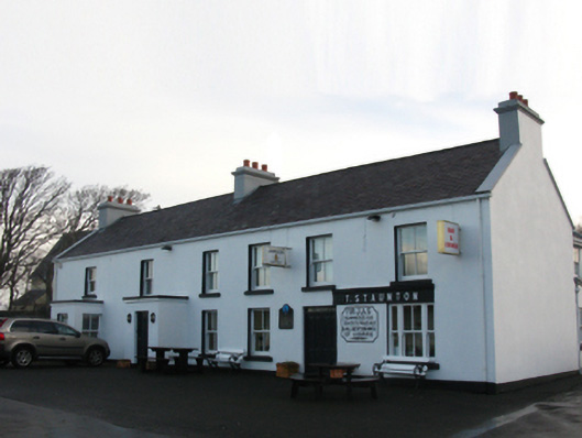 T. Stauntonfarm house · 82 yd
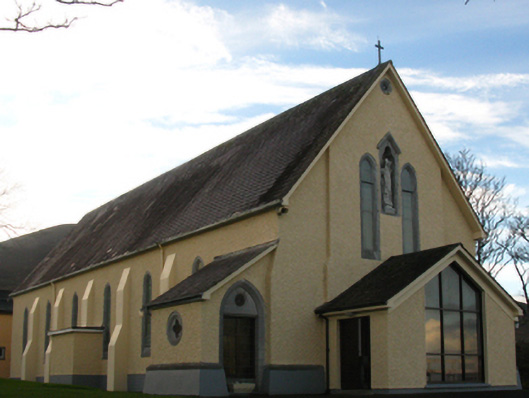 Saint Patrick's Catholic Churchchurch/chapel · 129 yd
 White StrandBeach / strand · 535 yd
 BunnatruffaBeach / strand · 608 yd
 Sweathouse in Carrowmacloughlin (murrisk By.)Sweathouse · 671 yd
 Enclosure in ThornhillEnclosure · 689 yd
 Ben GoramMountain / peak · 1.4 mi
 Leaba PatrickMemorial · 1.7 mi
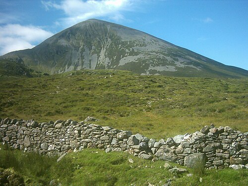 Croagh PatrickMountain / peak · 1.7 mi
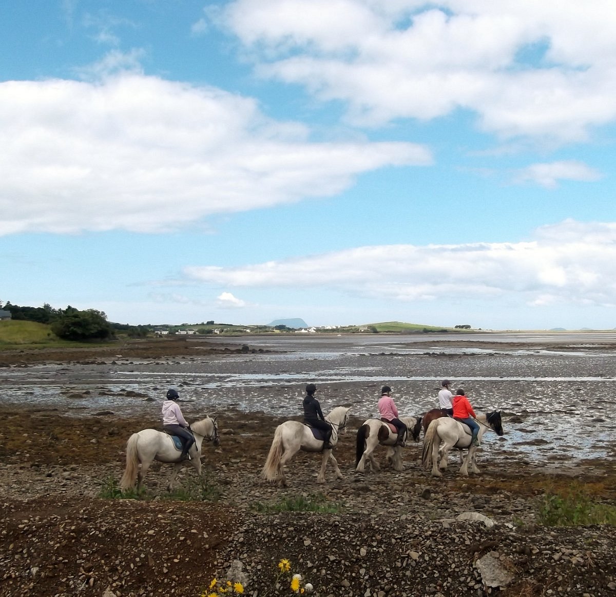 Croagh Patrick StablesHeritage attraction · 1.8 mi
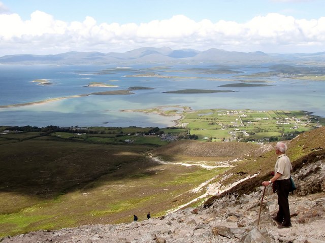 Croagh Patrick Pilgrim TrailWalking route · 2.1 mi
 Dorinish BegIslet · 2.2 mi