
What is recorded here
A watermill is marked on the Down Survey barony map (1654-5) of Ballaghkeen at Ballybregagh in Castle Ellis parihs. It is on the NW-SE Aughanall Stream, which is the boundary with Meelinagh parish. A corn mill is marked on the 1839 ed. of the OS 6-inch map, but it is not certain if it is at the location of the original mill.
See the attached section from the Down Survey barony map (N at top right) reproduced courtesy of the National Library of Ireland (Ms 725)
Compiled by: Michael Moore
Date of upload: 17 July, 2012
Amended: 28 April, 2014
The monument record does not grant public access. Check the route and ask the landowner before entering private land.
- What survives
- Recorded monument
Places near here
 IndicatedEnclosure · 946 yd
 Meelnagh Church (in ruins)Church · 1351 yd
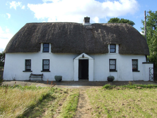 Saint Anthony'sfarm house · 1701 yd
 Ballingowan MoteCastle, motte · 1.2 mi
 Enclosure in BallingowanEnclosure · 1.4 mi
 1798 MemorialMonument · 1.4 mi
 Kilnamanagh Grave YardArchaeological place · 1.4 mi
 Battle of Oulart Hill signVisitor information · 2.1 mi
 Oulart HillMountain / peak · 2.3 mi
 Fontainebleau service treeFontainebleau service tree · 3.0 mi
 Birds of PreyVisitor information · 3.0 mi
 71Mountain / peak · 3.8 mi
Other information
Photo: Credit not shown in the picture search · Rights wording not checked; contact us if this picture should be removed