What is recorded here
In a small rocky field overlooking Roundstone Bay and Inis Ní/Inishnee to the E. Named 'Corn Kiln' on the 1838 edition of the OS 6-inch map but depicted by the symbol for a limekiln. On inspection in February 1984, no visible surface trace of it was observed.
Compiled by: Olive Alcock
Date of upload: 22 December 2021
The monument record does not grant public access. Check the route and ask the landowner before entering private land.
- What survives
- Recorded monument
Places near here
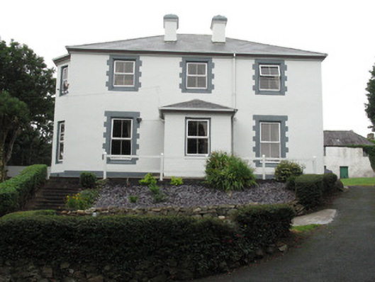 Ballagh Househouse · 373 yd
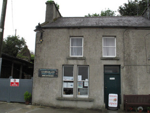 Leabharlann Cloch na Rónhouse · 449 yd
 Roundstone Bay & Island ToursHeritage attraction · 691 yd
 Alexander NimmoMemorial · 718 yd
 MonasteryEcclesiastical site · 929 yd
 Rosie McGurranGallery · 1069 yd
 Inis NíIsland · 1731 yd
 Enclosure in Inis NíEnclosure · 1.1 mi
 Iorras BeagMountain / peak · 1.6 mi
 Rat IslandIslet · 2.0 mi
 Trá na FeadóigeBeach / strand · 2.4 mi
 HawthornHawthorn · 3.5 mi