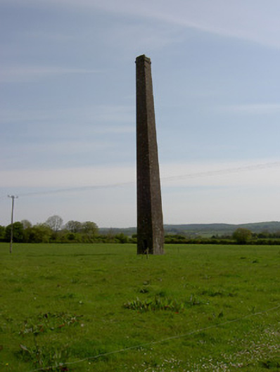
What is recorded here
Freestanding chimney, square in plan, erected 1863, tapering to top, with round-headed ground level openings to east and west elevations having inward stepped base. Roughly dressed sandstone construction with dressed sandstone voussoirs to openings. Resting on dressed stone plinth. Outbuilding to southwest with rubble stone walls and lean-to corrugated-iron roof.
This notable chimney is a notable feature in the surrounding area, due to the scale and form of the structure. The openings to the base of the chimney are notable features, being unusually stepped inward at the base. Together with the outbuilding at the southwest, this fine chimney was associated with the now defunct coal mines located in the Ballingarry area.
This does not grant access. Most recorded buildings are privately owned; view them only from public ground unless the owner allows entry.
Places near here
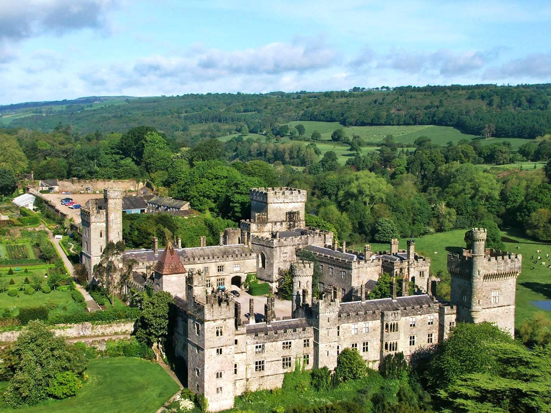 Site of Lisnamrock CastleCastle, unclassified · 923 yd
 Ballingarry Creamerycreamery · 945 yd
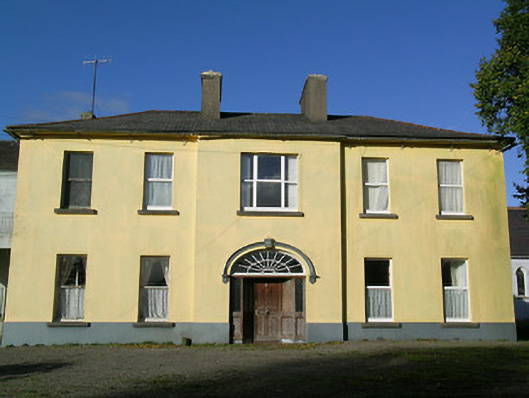 Ballingarry Presentation Conventcountry house · 952 yd
 Ballingarry Castle (ruins)Archaeological place · 1085 yd
 Site of ChurchChurch · 1366 yd
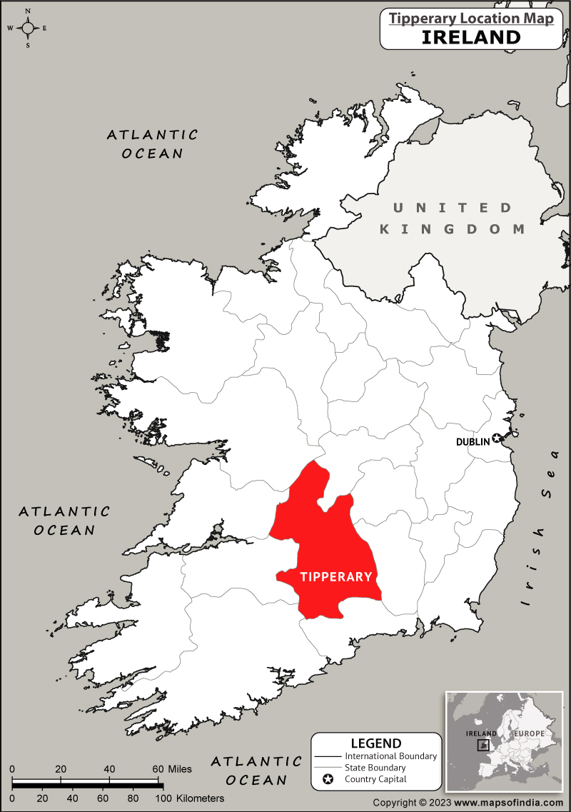 IndicatedFairy fort / earthen ringfort · 1.1 mi
 Warhouse HillMountain / peak · 2.9 mi
 Waterloo HillMountain / peak · 3.1 mi
 Top Field at Carey'sForest · 3.2 mi
 Second Field on the HillForest · 3.4 mi
 Slieveardagh Heritage CentreVisitor information · 4.4 mi
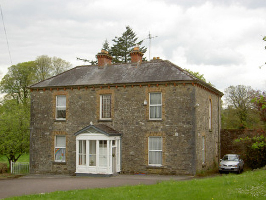 presbytery/parochial/curate's housepresbytery/parochial/curate's house · 1094 yd
Other information
Photo: National Inventory of Architectural Heritage · Website use allowed for educational or private purposes with source credit