What is recorded here
Crookhaven’s disused copper mines still stand at the peninsula’s tip, marked by a circular nineteenth-century magazine and a broken chimney stump. The round building has decorative external niches, three tiers of internal wall presses, and a porch facing east, while a mine shaft cuts into the ground to the north. Men may have pressed, carried and burned copper there before the sea wind took the works back, leaving only measured stone and absence.
Part of Crookhaven mining complex near tip Crookhaven peninsula. Nineteenth century circular magazine (int. diam. 2.76m; wall thickness 0.98m) built on crest of ridge. Decorative round headed wall niches on external wall; three tiers of lintelled wall presses around internal wall. Doomed roof (max. H 4.5m); porch entrance to E. On lower ground to NW stands stump of chimney (H 4.5m; int. diam. 0.65m; wall thicknesss 0.96m), originally attached to S wall of engine house. Mine shaft to N. Remains of lower courses of structure to W. Associated magazine (CO147-060---) to E.
The above description is derived from the published 'Archaeological Inventory of County Cork. Volume 1: West Cork' (Dublin: Stationery Office, 1992). In certain instances the entries have been revised and updated in the light of recent research.
Date of upload/revision: 14 January 2009
The monument record does not grant public access. Check the route and ask the landowner before entering private land.
- What survives
- Recorded monument
Places near here
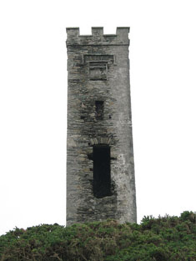 signal towersignal tower · 577 yd
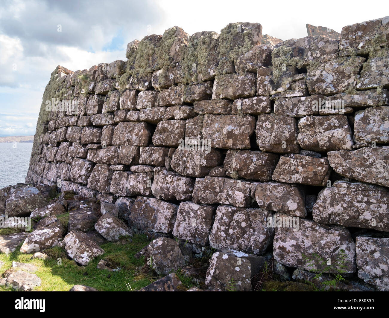 Promontory fortPromontory fort, coastal · 698 yd
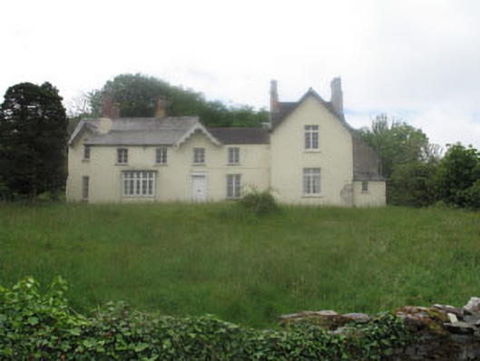 Rock Island Housecountry house · 716 yd
 Castle (Site of)Castle, unclassified · 1409 yd
 IndicatedFairy fort / earthen ringfort · 1463 yd
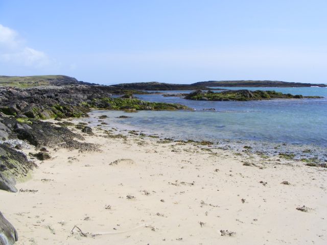 Galley Cove BeachBeach / strand · 1.5 mi
 Creamery PlatformMemorial · 2.5 mi
 Chimney CoveBeach / strand · 2.6 mi
 Ballyrisode PointHeadland · 2.8 mi
 Barley CoveHeritage attraction · 2.9 mi
 KnocknamaddreeMountain / peak · 3.0 mi
 KnockboyMountain / peak · 3.3 mi