What is recorded here
In woodland, on a small peninsula on the N shore of Muckross Lake. A single vertical shaft was seen, but is inaccessible. It probably dates to the second half of the 18th-century or early 19th-century (O'Brien 2000, 20). An extensive mining complex (KE074-024---) is c. 200m to the W.
Compiled by: Elizabeth Byrne, Ursula Egan and Sheila Ronan, Archaeological Survey Unit, University College, Cork.
Date of upload: 31 January 2011
The monument record does not grant public access. Check the route and ask the landowner before entering private land.
- What survives
- Recorded monument
Places near here
 Strawberry treeStrawberry tree · 388 yd
 Brickeen Bridgebridge · 598 yd
 Bog BayBay · 1005 yd
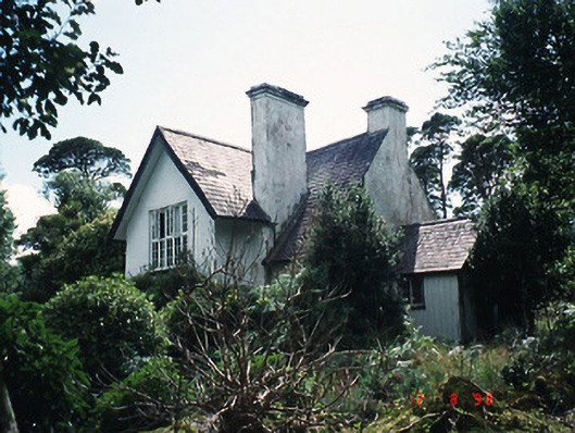 Dinish Cottageworker's house · 1049 yd
 Meeting of the watersViewpoint · 1112 yd
 English hollyEnglish holly · 1157 yd
 McRose BeachBeach / strand · 1352 yd
 QuayQuay · 1373 yd
 Devil's IslandIslet · 1531 yd
 Rough IslandIsland · 1.1 mi
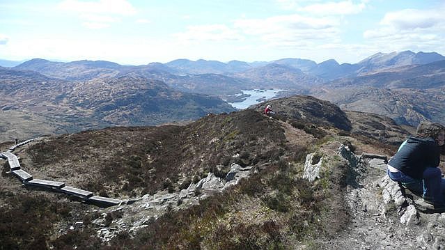 Torc Mountain W TopMountain / peak · 1.4 mi
 Torc MountainMountain / peak · 1.5 mi