
What is recorded here
Coolcraheen Cave was a drystone underground passage on the north slopes of Knockroe, blocked in the 1960s and now vanished beneath poor pasture. Its local name, Liscoolcraheen, hints at a ringfort, suggesting the hole may have served as a hidden shelter or storage for people who lived beside that fort. No stone or entrance remains visible, but the closure implies a deliberate choice to stop others using what the community already knew.
Located on the N slopes of Knockroe in poor undulating pasture, the entrance to this drystone-built Man-made underground passage was blocked in the 1960s (local information). The site was known locally as 'Liscoolcraheen' (OSNB Knockane, 45), which may indicate an association with a ringfort. No visible trace survives.
The above description is derived from A. O'Sullivan and J. Sheehan (compilers), 'The Iveragh peninsula: an archaeological survey of South Kerry'. Cork University Press (1996), no. 865. In certain instances the entries have been revised and updated in the light of recent research.
Date of upload: 29 July 2013
This remains an important historical record, but the official description says the monument is no longer visible or has been destroyed. The monument record does not grant public access. Check the route and ask the landowner before entering private land.
- What survives
- No visible remains or recorded as destroyed
Places near here
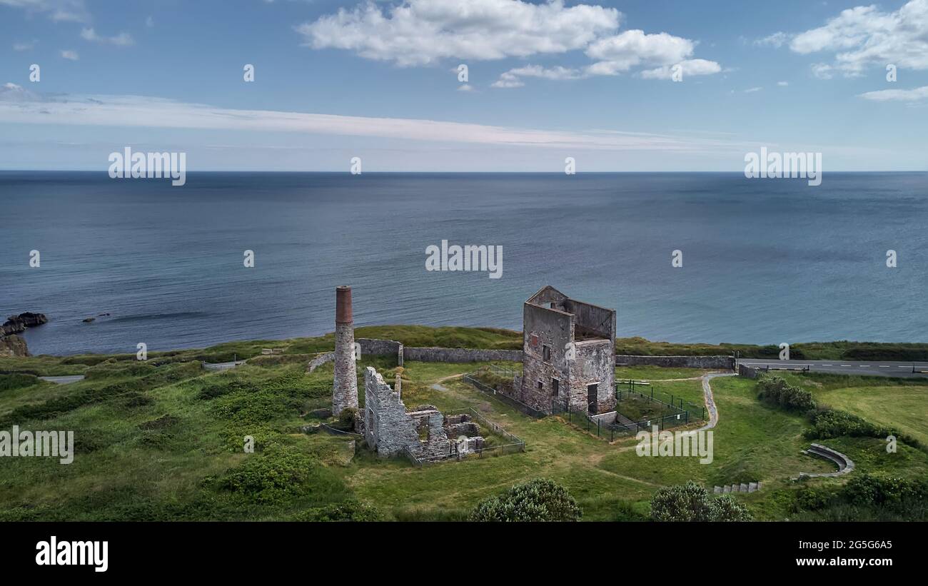 Coolroe CaveMan-made underground passage · 566 yd
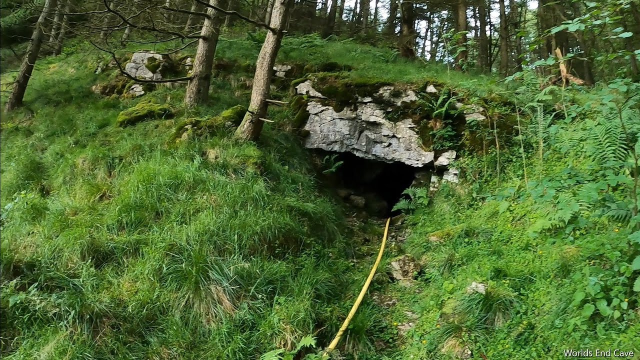 CaveMan-made underground passage · 591 yd
 KnockroeMountain / peak · 685 yd
 KnockbrackMountain / peak · 1445 yd
 Devil's Ladder RouteWalking route · 1.5 mi
 CarrauntoohilMountain / peak · 2.3 mi
 Crash site of USAAF DakotaHeritage attraction · 2.4 mi
 Killoughane Church (in Ruins)Church · 2.8 mi
 Castle Core (in Ruins)Castle, tower house · 3.2 mi
 Knockane Churchchurch/chapel · 3.4 mi
 Ballymalis Castle (in ruins)Castle, tower house · 4.0 mi
 Head of DunloeViewpoint · 4.3 mi
Other information
Photo: Credit not shown in the picture search · Rights wording not checked; contact us if this picture should be removed