What is recorded here
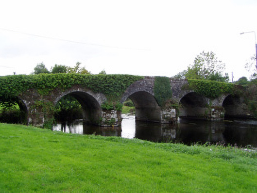
Five arch road bridge over River Bride, built c. 1770 and widened c.1825. Rubble limestone walls, with roughly dressed copings stones to parapets, dressed limestone voussoirs to round arches, having V-cutwaters to west elevation. Evidence for widening of bridge, as stonework to piers is cut limestone to east side and rubble stone to west.
This substantial, hump-back bridge is solidly constructed with rubble limestone walls. The dressings and V-shaped cutwaters are finely carved and are indicative of the high standard of nineteenth-century craftmanship and engineering skills in the early to mid-nineteenth century.
This does not grant access. Most recorded buildings are privately owned; view them only from public ground unless the owner allows entry.
Places near here
 Conna BridgeBridge · 12 yd
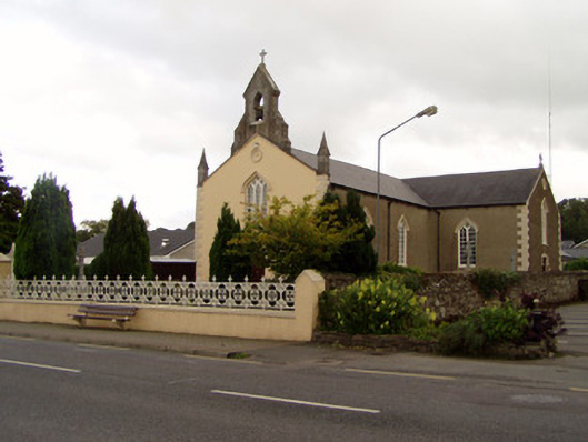 Saint Catherine's Churchchurch/chapel · 175 yd
 Conna Castle (in Ruins)Castle, tower house · 653 yd
 Conna CastleCastle · 653 yd
 Field system in CooladurraghField system · 700 yd
 Enclosure in ConnaEnclosure · 920 yd
 Castlebrook forestWood · 1077 yd
 Graveyard in Curraheen (kinnatalloon By.)Graveyard · 1.1 mi
 Aghern CemeteryWood · 1.6 mi
 Natural heritage of CoolagowanVisitor information · 3.9 mi
 Life Space ParkPicnic place · 4.0 mi
 Graveyard in KillasseraghGraveyard · 4.1 mi
Other information
Photo: National Inventory of Architectural Heritage · Website use allowed for educational or private purposes with source credit