
What is recorded here
Coney Island is a wooded islet in Lough Neagh, Northern Ireland, where a 13th-century Anglo-Norman motte and 16th-century stone tower still stand beside traces of a native settlement and small iron industry. It lies between the River Blackwater and River Bann, a short distance from Maghery, and its name comes from coney, meaning rabbit. The island has changed from a lived and fortified place to a protected landmark reached by boat, carrying layers of occupation, trade and memory in a small area of water.
Coney Island is recorded as a islet in County Armagh. Its open map record supplies this location and any linked names or public references.
Places near here
 Millennium MilepostVisitor information · 1.0 mi
 ENCLOSURE (rath?) & possible Man-made underground passage: MOUNT HALL in ClonmakateENCLOSURE (rath?) & possible Man-made underground passage: MOUNT HALL · 2.0 mi
 Washing BayBay · 2.3 mi
 Lake Walk (Derryadd)Walking route · 2.6 mi
 FINDSPOT of RING & possible ENCLOSURE in AughamullanFINDSPOT of RING & possible ENCLOSURE · 2.7 mi
 Masonic HallHall · 3.6 mi
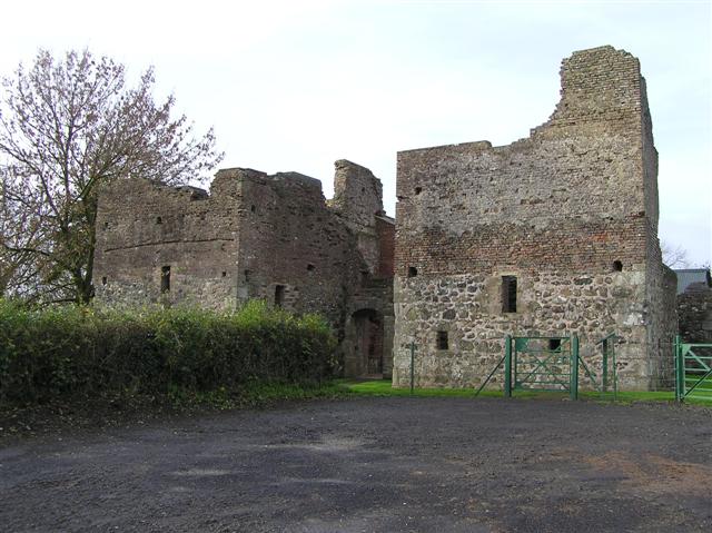 C17th CAMPAIGN FORT: MOUNTJOY CASTLE in Magheralamfield, MountjoyC17th CAMPAIGN FORT: MOUNTJOY CASTLE · 3.7 mi
 Mountjoy CastleRuins · 3.7 mi
 Belville HouseHouse · 4.1 mi
 Drumcrow ASSINature reserve · 4.4 mi
 Drumard PlantationWood · 4.8 mi
 Clonoe ambushterrorist attack · 5.1 mi
Other information
Photo: Graeme McCusker · CC BY-SA 2.0