What is recorded here
A concentric enclosure (overall diam. c. 140m) visible as a cropmark on aerial photographs (ASIAP (15) 31-35, 2 August 1996; ASIAP (65) 31-36, 21 July 1996). There is a gap of c. 30m between the inner (diam. c. 50-60m) and outer enclosure.
Compiled by: Jean Farrelly
Date of upload: 1 September 2015
The monument record does not grant public access. Check the route and ask the landowner before entering private land.
- What survives
- Recorded monument
Places near here
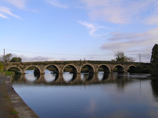 Gore's Bridgebridge · 386 yd
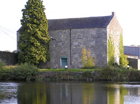 store/warehousestore/warehouse · 387 yd
 Druid's AltarArchaeological place · 661 yd
 Font (present location) in Grange LowerFont (present location) · 816 yd
 Lord Galmoys Catle (in ruins)Castle, unclassified · 1.1 mi
 Drumroe Castle (ruins)Castle · 1.6 mi
 Tinnakeenly BogForest · 2.9 mi
 The bogForest · 2.9 mi
 Church (in ruins), GraveyardChurch · 4.6 mi
 The Barrow WayVisitor information · 5.6 mi
 Tullaherin Church and Round TowerVisitor information · 6.8 mi
 St. Mogarra’s WellSpring · 7.4 mi