What is recorded here
Millin Bay Cairn stands in Keentagh, County Down, a complex cairn dating to the Late Neolithic period when people first shaped that coast with stone and memory. It remains protected under State Care and Scheduled law, preserving the exact place where ancient hands stacked rock beside the bay. The stones may have marked a burial, a boundary, or a gift to the tide, but they still hold the shape of human attention given to that small stretch of seawater.
The official Northern Ireland record identifies this as COMPLEX CAIRN: MILLIN BAY CAIRN. Recorded period: LATE NEO; PREHISTORIC. Recorded protection: State Care and Scheduled. The official map point was placed at the centre of the recorded archaeological site from the source map reference.
Complex cairn, dating to the Late Neolithic period. It is a scheduled monument under state care, indicating its archaeological importance in the prehistoric landscape of Northern Ireland.
The monument record does not grant public access. Check the route and ask the landowner before entering private land.
- What survives
- Recorded monument
Places near here
 Millin Bay CairnArchaeological place · 2 yd
 PLATFORM RATH in BallyfounderPLATFORM RATH · 887 yd
 Quintin CastleCountry House · 1139 yd
 MEDIEVAL CHURCH & GRAVEYARD: BALLYTRUSTAN; THRUSTAYNISTONE in BallytrustanMEDIEVAL CHURCH & GRAVEYARD: BALLYTRUSTAN; THRUSTAYNISTONE · 1.1 mi
 Kearney Coastal Walk, KearneyWalking route · 2.0 mi
 Portaferry Presbyterian ChurchChurch · 2.2 mi
 Sandy IslandIslet · 2.3 mi
 Ballyquintin Point Nature ReserveNature reserve · 2.3 mi
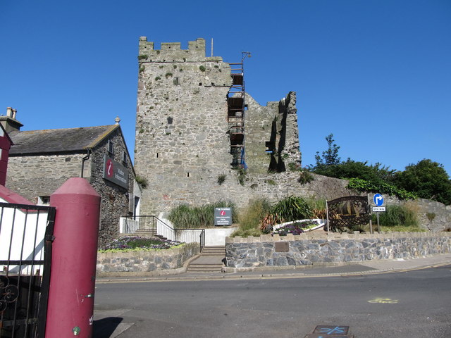 Portaferry CastleCastle · 2.4 mi
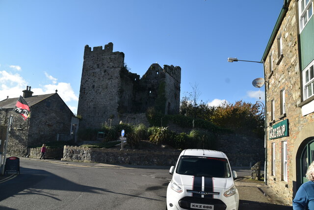 TOWER-HOUSE: PORTAFERRY CASTLE in Ballyphilip; PortaferryTOWER-HOUSE: PORTAFERRY CASTLE · 2.4 mi
 Swan IslandIslet · 2.4 mi
 Strangford Holiday Park Picnic AreaPicnic place · 2.7 mi