What is recorded here
In grassland, on the summit of a hill. Frequently called 'Lisin na b-paistidh' (O'Flanagan 1927, Vol. 1, 118), this monument, in fair condition, consists of an almost square unenclosed area (N-S c. 13.7m, E-W c. 13.5m) with evidence of bulldozing at NE. Many limestone grave-markers, two of which are inscribed, are arranged in rows aligned NE-SW. A lone tree stands on the highest point of the hill on SSW side of the monument.
The above description is derived from the published 'Archaeological Inventory of County Galway Vol. II - North Galway'. Compiled by Olive Alcock, Kathy de hÓra and Paul Gosling (Dublin: Stationery Office, 1999).
Date of upload: 05 August 2010
The monument record does not grant public access. Check the route and ask the landowner before entering private land.
- What survives
- Recorded monument
Places near here
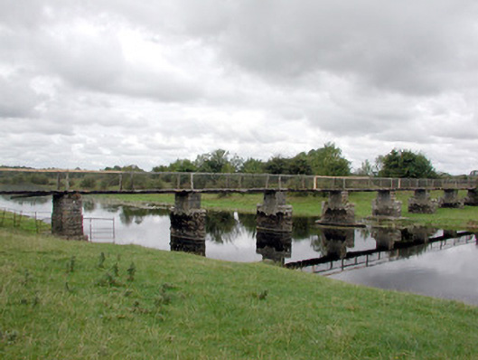 foot bridgefoot bridge · 1587 yd
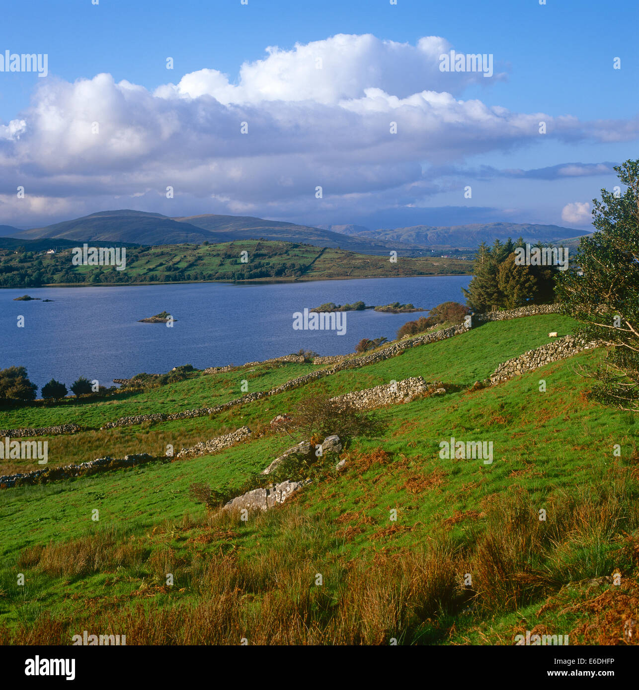 Quarry in CaltraghduffQuarry · 1607 yd
 Yellow WellHoly well · 1.5 mi
 Enclosure in Inch IslandEnclosure · 1.7 mi
 Inch IslandIsland · 1.7 mi
 Tower (in Ruins)Castle, tower house · 2.3 mi
 Site of Ballygar CastleArchaeological place · 4.0 mi
 LismoneyForest · 4.8 mi
 Aughrane WoodsForest · 5.2 mi
 Inchnaveague IslandIslet · 5.3 mi
 Mount MaryMountain / peak · 7.9 mi
 Kilconnell AbbeyHeritage attraction · 10 mi