What is recorded here
Road bridge (Wth 7.4m; long axis E-W) over Clyda River. Random-rubble sandstone construction with limestone detail. Six semicircular arches (span c. 3m), dressed limestone voussoirs, some sandstone. Pier width c. 1m, low pointed cutwaters on upstream side. Vertical stone coping atop parapet wall. Bridge of late-18th/early-19th- century appearance.
The above description is derived from the published 'Archaeological Inventory of County Cork. Volume 4: North Cork' (Dublin: Stationery Office, 2000). In certain instances the entries have been revised and updated in the light of recent research.
Date of upload/revision: 14 January 2009
The monument record does not grant public access. Check the route and ask the landowner before entering private land.
- What survives
- Recorded monument
Places near here
 Clyda Bridge (Upper)bridge · 1 yd
 Enclosure in Dromore (duhallow By.)Enclosure · 982 yd
 Anias WellHoly well · 989 yd
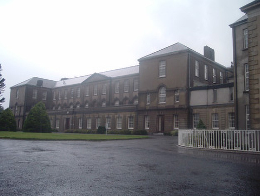 Nazareth Housecountry house · 1138 yd
 Blackwater WayWalking route · 1435 yd
 Mallow River TrailVisitor information · 1.3 mi
 In loving memory of Elvis O'DonoghueMemorial · 1.4 mi
 KnockarouraForest · 1.8 mi
 Mallow Castle RuinRuins · 1.8 mi
 Mallow Castle (in Ruins)House, fortified house · 1.8 mi
 Mallow Town Park - Maple WoodsForest · 2.1 mi
 Lover' LeapCliff · 2.4 mi