What is recorded here
On the summit of Cloghfaunaglibbaun, the NE ridge of Knockbrack mountain, is a subcircular cairn of stones which measures 16.5m N-S x 16.8m E-W and 1.8m high. This location commands extensive views of the plain of the River Laune to N. The cairn is largely composed of medium sized blocks, and includes some quartz. A sheepfold occurs on the N edge of the monument and incorporates a large slab, 1.95m x .8m x .35m, in its S end. Adjacent to this slab, in the surface of the cairn, is a large, shallow, circular depression. A 30m long stretch of a pre-bog wall (KE065-115001-) abuts the E side of the cairn.
The above description is derived from A. O'Sullivan and J. Sheehan (compilers), 'The Iveragh peninsula: an archaeological survey of South Kerry'. Cork University Press (1996), no. 392. In certain instances the entries have been revised and updated in the light of recent research.
Date of upload: 28 July 2013
A subcircular stone cairn, likely dating to the Bronze Age; its elevated position suggests ritual or funerary significance, common in prehistoric landscape use.
The monument record does not grant public access. Check the route and ask the landowner before entering private land.
- What survives
- Recorded monument
Places near here
 Coolcraheen CaveMan-made underground passage · 899 yd
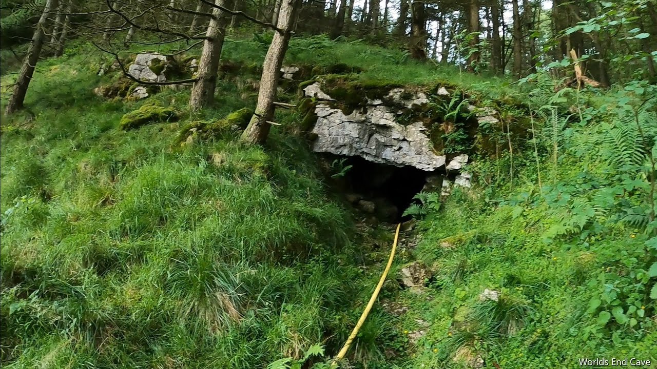 CaveMan-made underground passage · 930 yd
 KnockbrackMountain / peak · 1525 yd
 KnockroeMountain / peak · 1580 yd
 Devil's Ladder RouteWalking route · 2.0 mi
 Killoughane Church (in Ruins)Church · 2.4 mi
 CarrauntoohilMountain / peak · 2.7 mi
 Crash site of USAAF DakotaHeritage attraction · 2.9 mi
 Castle Core (in Ruins)Castle, tower house · 2.9 mi
 Knockane Churchchurch/chapel · 3.0 mi
 Ballymalis Castle (in ruins)Castle, tower house · 3.5 mi
 Japanese pagoda treeJapanese pagoda tree · 4.5 mi