What is recorded here
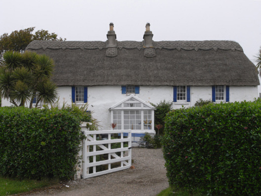
Detached five-bay two-storey thatched house, built 1826, on a T-shaped plan centred on single-bay single-storey gabled projecting glazed porch to ground floor; three-bay two-storey rear (west) elevation. Occupied, 1901; 1911. Reroofed, 2001. Chicken wire-covered hipped thatch roof with exposed hazel lattice stretchers to decorative raised ridge having exposed scallops, paired cement rendered red brick Running bond central chimney stacks having chamfered stringcourses below capping supporting terracotta or yellow terracotta tapered pots, and exposed hazel stretchers to eaves having exposed scallops. Limewashed roughcast battered walls; slate hung surface finish to side (south) elevation. Square-headed central door opening into house with concealed dressings framing timber boarded double doors. Square-headed window openings with limewashed sills, and concealed dressings framing six-over-six timber sash windows. Interior including (ground floor): central hall retaining carved timber surrounds to door openings framing timber panelled doors; reception room (south) retaining carved timber surround to door opening framing timber panelled door with carved timber surrounds to window openings framing timber panelled shutters; reception room (north) retaining carved timber surround to door opening framing timber panelled door with carved timber surrounds to window openings framing timber panelled shutters; and carved timber surrounds to door openings to remainder framing timber panelled doors with carved timber surrounds to window openings framing timber panelled shutters. Set in landscaped grounds perpendicular to road with rendered piers to perimeter having shallow pyramidal capping supporting timber gate.
A house identified as an important component of the early nineteenth-century built heritage of south County Wexford by such attributes as the rectilinear plan form centred on an expressed porch; the construction in unrefined local materials displaying a feint battered silhouette with sections of "daub" or mud suggested by an entry in the "House and Building Return" Form of the National Census (NA 1901; NA 1911); the slight diminishing in scale of the openings on each floor producing a graduated visual impression; and the high pitched roof showing a thatch finish replenished with the financial assistance of a grant (2002) from The Heritage Council: meanwhile, such traits as the symmetrical frontage clearly illustrate aspirations to "gentrified" architecture (cf. 15701722; 15703323; 15703330; 15704863). Having been well maintained, the elementary form and massing survive intact together with substantial quantities of the original fabric, both to the exterior and to the interior, thus upholding the character or integrity of a house having historic connections with Joseph Meadows (1809-77) 'formerly of Clough East [sic] Cottage afterwards of Carcur and late of Thornville all in County Wexford' (Calendars of Wills and Administrations 1877, 515); and a succession of tenants of the Furlong family including William Ernest Fitzsimons (----), 'Insurance Inspector' (NA 1901; NA 1911).
This does not grant access. Most recorded buildings are privately owned; view them only from public ground unless the owner allows entry.
Places near here
 mill (wind)mill (wind) · 233 yd
 CastleCastle, tower house · 265 yd
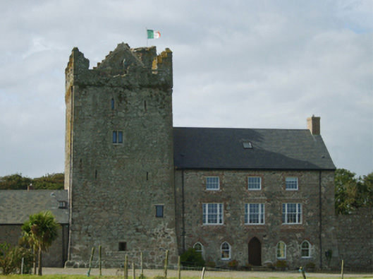 farm housefarm house · 266 yd
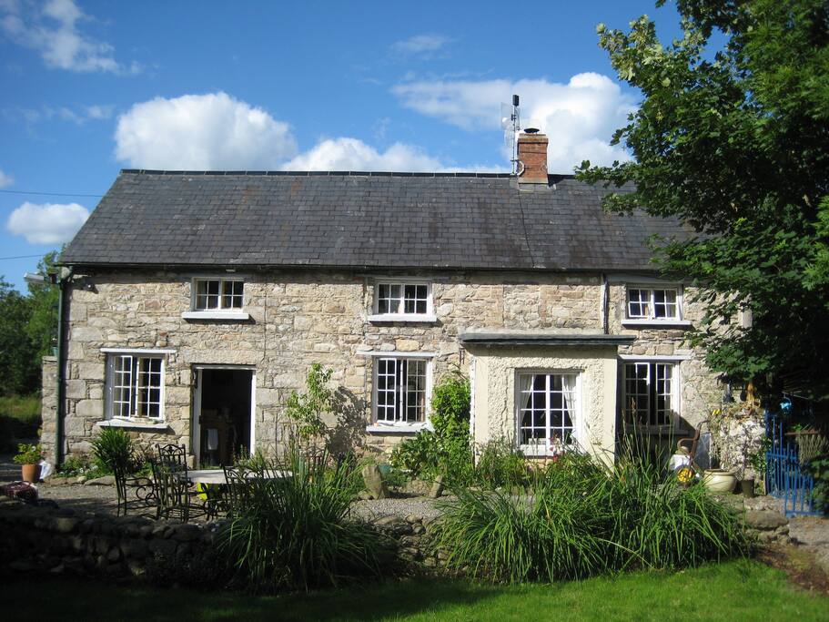 The Long StoneArchaeological place · 693 yd
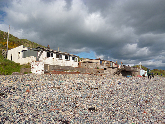 Nethertown BeachBeach / strand · 799 yd
 Churchtown Beach / The Sandy GripeBeach / strand · 885 yd
 Wind Mill StumpWindmill · 1015 yd
 The Caravan RockNamed rock · 1041 yd
 Lifeboat MemorialMemorial · 1111 yd
 Site of CastleCastle, unclassified · 1173 yd
 The CaamstoneNamed rock · 1.1 mi
 Shernock Hill/Knocks HillMountain / peak · 1.2 mi
Other information
Photo: National Inventory of Architectural Heritage · Website use allowed for educational or private purposes with source credit