
What is recorded here
Twelve centuries of burial surround the ruined church, where a priest named Amerson may have lived beside a vanished castle in 1600. Two shallow cupmarks on a flat stone still invite people to call them St. Colmcille's knee-prints, as if the saint had knelt there and left the grass behind. The Clonmany river catches light beyond good land and rough pasture, while an underground passage hidden near a modern house suggests the site keeps giving up rooms nobody planned.
This is believed to be the early ecclesiastical site of Culmaine (Gwynn and Hadcock 1970, 377). The site presently consists of a graveyard (DG010-011001-) surrounding a ruined 18th century church 14m from the SE corner of the church is a flat-surfaced stone, .3m x .52m, on which are two small cupmarks. Traditionally these are known as St. Colmcille's knee-prints (DG010-011002-). It is situated in a band of good land in generally rough pasture sloping NE to the Clonmany river. Beside the church there stood in 1600 a castle (DG010-011004-) (probably a stone house) which was inhabited by a priest called Amerson (Davies and Swan 1939, 198). No visible trace of this structure survives and its exact location is unknown. A Man-made underground passage (DG010-046----) was recently discovered in the front garden of a bungalow immediately W of the C of I church.
The above description was derived from the 'Archaeological Survey of County Donegal. A description of the field antiquities of the County from the Mesolithic Period to the 17th century.' Compiled by: Brian Lacey with Eamon Cody, Claire Cotter, Judy Cuppage, Noel Dunne, Vincent Hurley, Celie O'Rahilly, Paul Walsh and Seán Ó Nualláin (Lifford: Donegal County Council, 1983). In certain instances the entries have been revised and updated.
Date of upload: 22 September 2008
Early medieval ecclesiastical site; associated with Saint Culmaine and significant as a long-standing place of Christian worship and burial.
The official description records surviving remains. Its missing or destroyed wording refers only to one part of this place or to a different nearby feature. The monument record does not grant public access. Check the route and ask the landowner before entering private land.
- What survives
- Visible or partial remains survive
Places near here
 Ritual siteRitual site, holy/saint's stone · 10 yd
 Clonmany Church of Ireland Parish Churchchurch/chapel · 13 yd
 Clonmany ChurchChurch · 14 yd
 Glenevin Waterfall WalkOfficial walking route · 625 yd
 Glenevin WaterfallWaterfall · 1107 yd
 Glenevin Waterfall, Clonmanywaterfall · 1107 yd
 Former Gaddyduff Fairy FortFairy fort / ringfort · 1213 yd
 Raghtin MoreMountain / peak · 1.7 mi
 Glendowen craft shopHeritage attraction · 2.4 mi
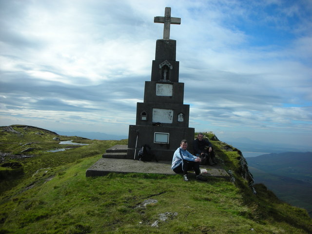 BulbinMountain / peak · 2.8 mi
 Gap of Mamore ViewpointViewpoint · 3.2 mi
 Mamore GapViewpoint · 3.5 mi
Other information
Photo: Andreas F. Borchert · CC BY-SA 4.0