What is recorded here
On flat undulating pasture within an open field. Possible standing stone annotated ‘Cloghroenapeastia’ on 1897 ed. OS 25-inch map. The area is now overgrown and a tree marks the location marked on the OS maps. In 1840 the Ordnance Survey recorded the following details about this monument; 'Clogh rhoo na Pistia, or The Red Worm's Stone, or The Serpent's Stone. A serpent is said to have had its abode under a stone here, but St. Patrick is said to have cut it in two, whereupon the two parts sprang off to a bog near the Shannon, into which they sank. The hole they made in sinking existed till a few years ago and was called Pul na Pest Rooa (Poll na Péiste Ruaidhe, the hole of the red serpent' (OSNB Stradbally Parish, 1629; O'Flanagan 1929, 22).
See attached Google Earth orthoimages
Compiled by: Edmond O’Donovan
Date of upload: 10 July 2020
The monument record does not grant public access. Check the route and ask the landowner before entering private land.
- What survives
- Recorded monument
Places near here
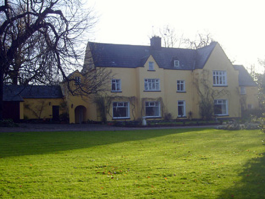 Ballynacourtyhouse · 632 yd
 OutlinedFairy fort / earthen ringfort · 639 yd
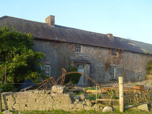 Hermitagestables, outbuilding · 641 yd
 Enclosure in SallymountEnclosure · 874 yd
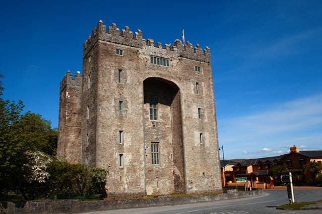 The Turret (in Ruins)Castle, unclassified · 1230 yd
 Castle ConnellRuins · 1.0 mi
 Campus MapVisitor information · 3.1 mi
 Visitor CentreVisitor information · 3.2 mi
 Fountain SculptureHeritage attraction · 3.2 mi
 Old PumpHeritage attraction · 3.8 mi
 King's IslandIsland · 5.2 mi
 The Pollagh TrailNature reserve · 5.7 mi